Singer Island
Singer Island is a peninsula on the Atlantic coast of Palm Beach County, Florida, in the South Florida metropolitan area. Most of it is in the city of Riviera Beach, but the town of Palm Beach Shores occupies its southern tip.Notable Places in the Area
Detachment Hotel
Bunker
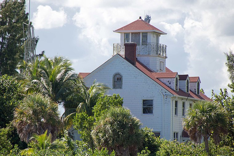
Photo: Florida Guidebook, CC BY 2.0.
Detachment Hotel is the name used to refer to a small 1,500-square-foot bunker complex on Peanut Island, Florida.
Munyon Island
Island
Munyon Island is located in the Lake Worth Lagoon Estuary in North Palm Beach, Florida.
Localities in the Area
Riviera Beach

Photo: Rrapynot, Public domain.
Riviera Beach is a city in Palm Beach County, Florida.
Singer Island
- Type: Island
- Description: island in the United States of America
- Categories: locality and landform
- Location: Palm Beach County, Greater Miami, Florida, United States, North America
- View on OpenStreetMap
Latitude
26.78506° or 26° 47' 6" northLongitude
-80.03754° or 80° 2' 15" westElevation
7 feet (2 metres)United Nations Location Code
US SINOpen Location Code
76RXQXP6+2XOpenStreetMap ID
node 358706540OpenStreetMap Feature
place=islandGeoNames ID
4173057Wikidata ID
Q7523400Singer Island Satellite Map
© OpenStreetMap, Mapbox and Maxar
Also Known As
- Cebuano: Singer Island
- Dutch: Singer Island
- German: Singer Island
- Singers Island
Localities in the Area
- Palm Beach IslesHamlet
- Palm Beach ShoresVillage
- Mangonia ParkVillage
- Palm Beach LakesHamlet, 4½ miles southwest
- Juno RidgeHamlet, 4½ miles north
Landmarks in the Area
Popular Destinations in Palm Beach County
Discover West Palm Beach, Boca Raton, Palm Beach and Delray Beach.
Escape to a Random Place
Discover other destinations in the world.
About Mapcarta. Thanks to Mapbox for providing amazing maps. Data © OpenStreetMap contributors and available under the Open Database License. Text is available under the CC BY-SA 4.0 license, excluding photos, directions and the map. Description text is based on the Wikipdia page Singer Island. Photo: LShanley, CC BY-SA 3.0.