Sutton Place
Sutton Place is a locality in Manhattan, New York. Sutton Place is situated nearby to the neighborhoods Roosevelt Island and Midtown East.Photo: Michael J Owens, CC BY 2.0.
Photo: Wikimedia, CC BY-SA 3.0.
Notable Places in the Area
United Nations Headquarters
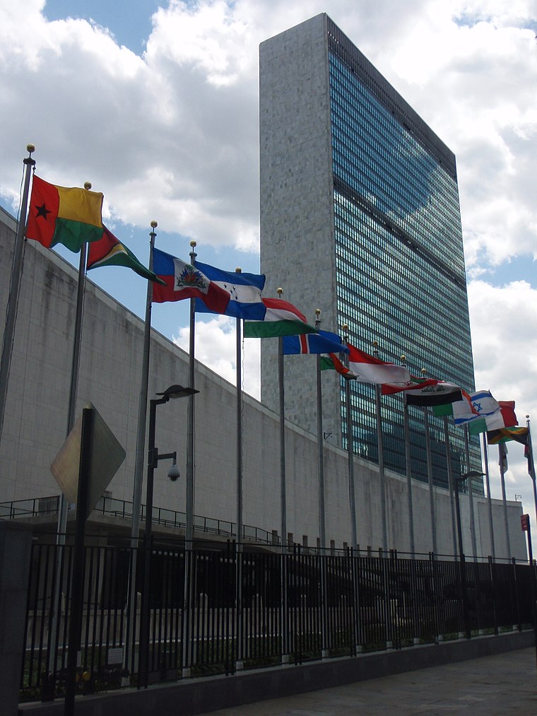
Photo: Wikimedia, CC BY 2.5 dk.
The headquarters of the United Nations is on 17 to 18 acres of grounds in the Turtle Bay neighborhood of Midtown Manhattan in New York City.
Museum of Modern Art
Museum
The Museum of Modern Art is an art museum located in Midtown Manhattan, New York City, on 53rd Street between Fifth and Sixth Avenues.
Grand Central Terminal
Railway station
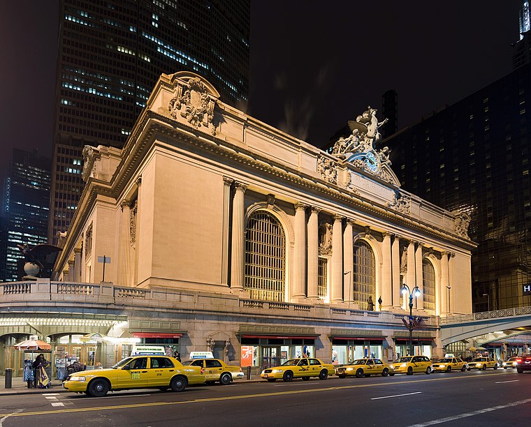
Photo: Fcb981, CC BY-SA 3.0.
Grand Central Terminal is a commuter rail terminal located at 42nd Street and Park Avenue in Midtown Manhattan, New York City.
Localities in the Area
Lenox Hill
Neighborhood
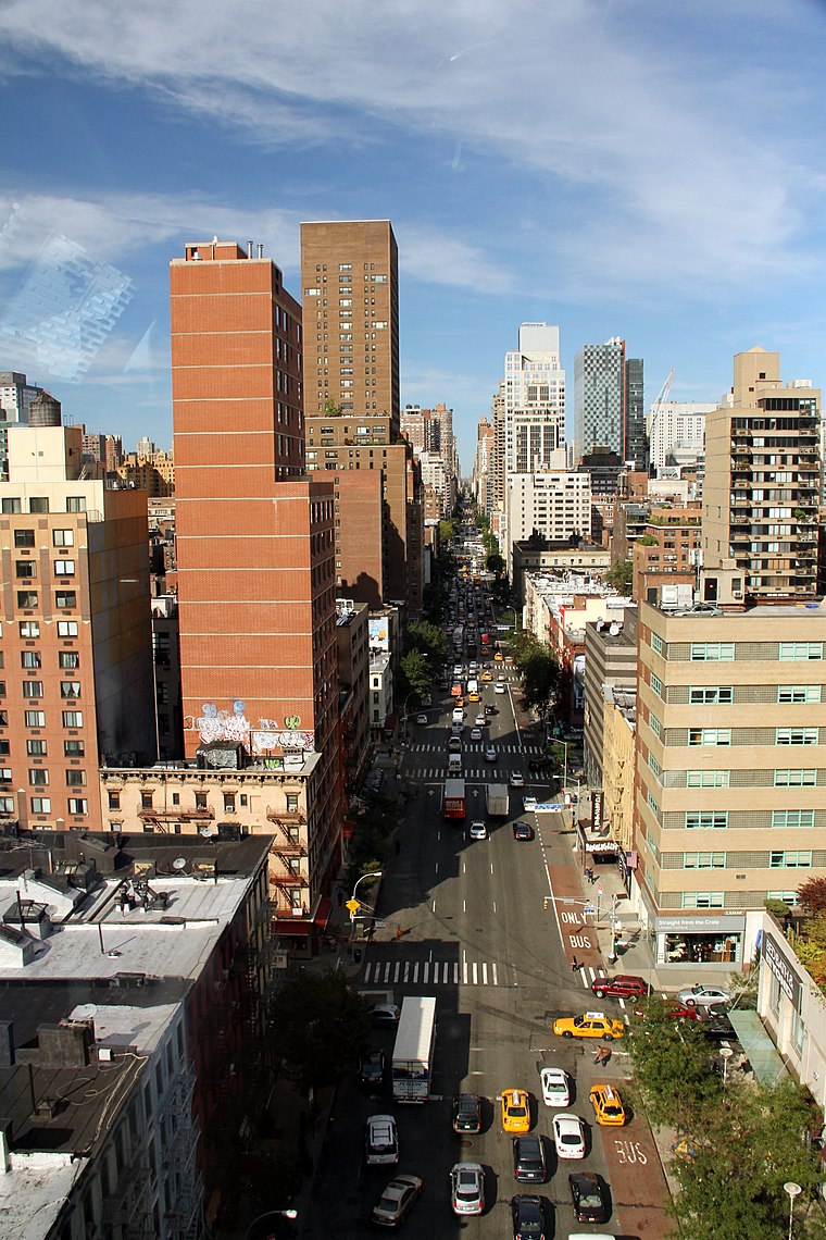
Photo: Wikimedia, CC BY-SA 2.0.
40°46′08″N 73°57′43″W / 40.769°N 73.962°W 1st Avenue in Lenox Hill Lenox Hill is a neighborhood on the Upper East Side of Manhattan in New York City.
Tudor City
Neighborhood
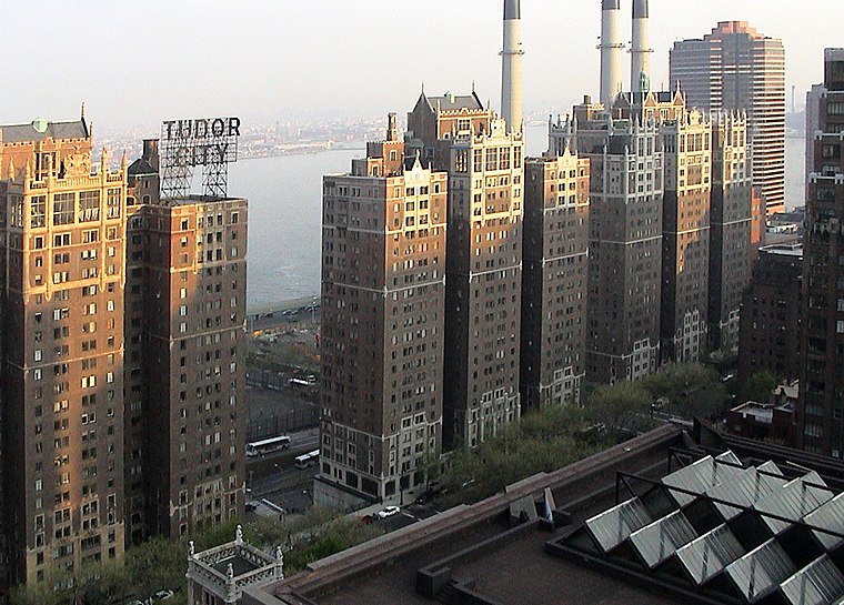
Photo: Niklem, CC BY-SA 2.0.
Tudor City is an apartment complex on the East Side of Manhattan in New York City, bordering the Turtle Bay and Murray Hill neighborhoods.
Diamond District
Neighborhood
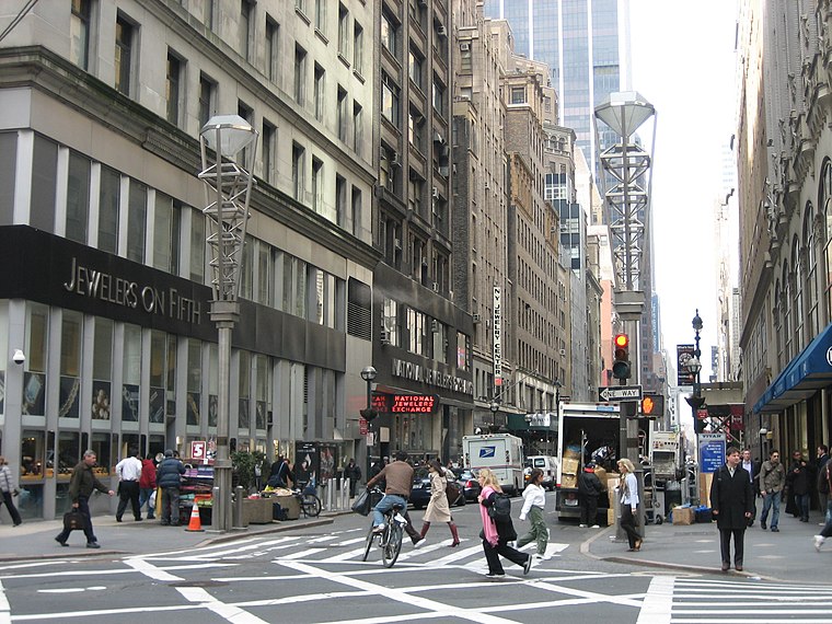
Photo: ChrisRuvolo, CC BY-SA 4.0.
A diamond district is an area where the cutting, polishing, and trade of diamonds and other gems takes place.
Sutton Place
- Type: Locality
- Description: neighborhood of Manhattan, New York City
- Category: neighborhood of Manhattan
- Location: Manhattan, New York, Mid-Atlantic, United States, North America
- View on OpenStreetMap
Sutton Place Satellite Map
© OpenStreetMap, Mapbox and Maxar
Also Known As
- Dutch: Sutton Place
- French: Sutton Place
- German: Sutton Place
- Russian: Саттон-Плейс
- Spanish: Avenida York y Sutton Place
- Spanish: Sutton Place
- Turkish: Sutton Place
Other Places Named Sutton Place
Localities in the Area
- Roosevelt IslandNeighborhood
- Midtown EastNeighborhood
- Diamond DistrictLocality
- Queensbridge HousesLocality
- Hunters PointNeighborhood
Landmarks in the Area
Popular Destinations in Manhattan
Discover Upper East Side, Central Park, Theater District and Upper West Side.
Escape to a Random Place
Discover other destinations in the world.
About Mapcarta. Thanks to Mapbox for providing amazing maps. Text is available under the CC BY-SA 4.0 license, excluding photos, directions and the map. Photo: Michael J Owens, CC BY 2.0.