Mater Infirmorum Hospital
The Mater Infirmorum Hospital, commonly known as The Mater, is an acute hospital in Belfast, Northern Ireland. It provides services to most of North Belfast and South Antrim, reaching as far as Glengormley, Carrickfergus and Newtownabbey It is managed by the Belfast Health and Social Care Trust.- Type: Hospital
- Description: hospital in Belfast, Northern Ireland
- Address: 45-54 Crumlin Road, Belfast, BT14 6AB
Notable Places in the Area
HM Prison Belfast
Museum
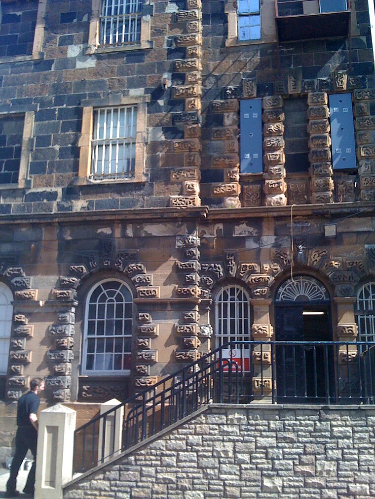
Photo: Agadant, CC BY-SA 3.0.
HM Prison Belfast, also known as Crumlin Road Gaol, is a former prison situated on the Crumlin Road in north Belfast, Northern Ireland. HM Prison Belfast is situated 650 feet northwest of Mater Infirmorum Hospital.
St Malachy's College
School
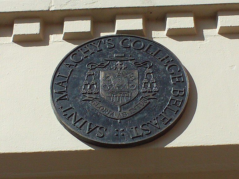
Photo: Wikimedia, CC BY-SA 3.0.
St Malachy's College, in Belfast, Northern Ireland, is the oldest Catholic diocesan college in Ulster. St Malachy's College is situated 340 feet north of Mater Infirmorum Hospital.
Clifton Street Cemetery
Cemetery
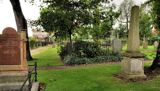
Photo: Albert Bridge, CC BY-SA 2.0.
Clifton Street Cemetery, Belfast, holds the graves of a number of Belfast's most distinguished figures. Clifton Street Cemetery is situated 910 feet east of Mater Infirmorum Hospital.
Localities in the Area
New Lodge
Suburb

Photo: Gerry Lynch, CC BY 2.5.
The New Lodge is an urban, working class Catholic community in Belfast, Northern Ireland, immediately to the north of the city centre.
Cathedral Quarter
Quarter

Photo: Stuart, CC BY-SA 2.0.
The Cathedral Quarter in Belfast, Northern Ireland, is a developing area of the city, roughly situated between Royal Avenue near where the Belfast Central Library building is, and the Dunbar Link in the city centre.
Titanic Quarter
Quarter

Photo: Wikimedia, CC BY-SA 4.0.
54°36′24.51″N 5°54′20.84″W / 54.6068083°N 5.9057889°W Titanic Museum in Belfast Harbour Titanic…
Mater Infirmorum Hospital
- Category: health care
- Location: Belfast, County Antrim, Northern Ireland, United Kingdom, Britain and Ireland, Europe
- View on OpenStreetMap
Latitude
54.60875° or 54° 36' 32" northLongitude
-5.93943° or 5° 56' 22" westOperator
Belfast Health and Social Care Trust (BHSCT) - NHSOpen Location Code
9C6PJ356+F6OpenStreetMap ID
way 397531416OpenStreetMap Feature
amenity=hospitalOpenStreetMap Feature
healthcare=hospitalWikidata ID
Q6786517Mater Infirmorum Hospital Satellite Map
© OpenStreetMap, Mapbox and Maxar
Also Known As
- Dutch: Mater Infirmorum Hospital
- Egyptian Arabic: مستشفى الام المريضه
- French: Mater Infirmorum Hospital
- German: Mater Infirmorum Hospital
- Italian: Mater Infirmorum Hospital
- Spanish: Mater Infirmorum Hospital
Landmarks in the Area
- Crumlin Road Gaol Visitors CentreTourism office, 530 feet west
- The Hopelink CentreCommunity center, 810 feet southeast
- Methodist ChurchChurch, 870 feet southeast
- Executed Prisoner GravesCemetery, 870 feet northwest
- Carlisle Memorial Methodist Church930 feet southeast
Places in the Area
- Accident and EmergencyBuilding
- Mater HospitalBuilding
- St. Malachy's College Main BuildingSchool building
- College HallSchool building
- D and E BlocksSchool building
Popular Destinations in County Antrim
Discover Giant's Causeway, Lisburn, Ballymena and Larne.
Escape to a Random Place
Discover other destinations in the world.
About Mapcarta. Thanks to Mapbox for providing amazing maps. Data © OpenStreetMap contributors and available under the Open Database License. Text is available under the CC BY-SA 4.0 license, excluding photos, directions and the map. Description text is based on the Wikipdia page Mater Infirmorum Hospital. Photo: AlasdairW, CC BY-SA 3.0.