Top trails (69)
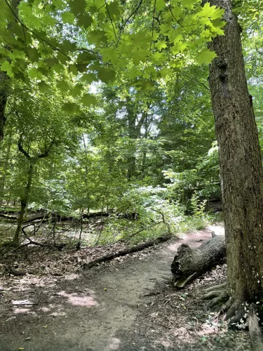
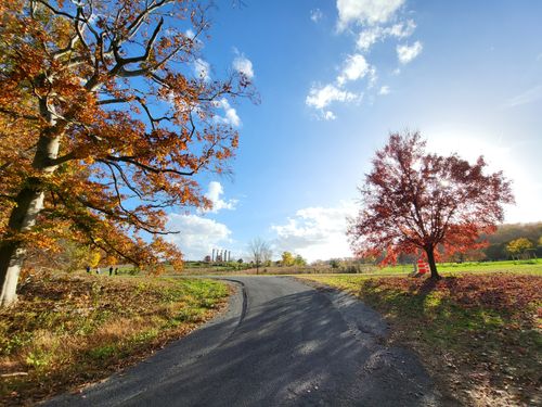
- Boulder Bridge LoopThis area is closed to vehicular traffic from 7 AM on Saturdays to 7 PM on Sundays and holidays but on weekdays the route is shared with vehicles. The path is wide and well-cleared, but steep and uneven in the beginning and ending sections. The entrance can be a bit tricky to find - it is by the horse stable.
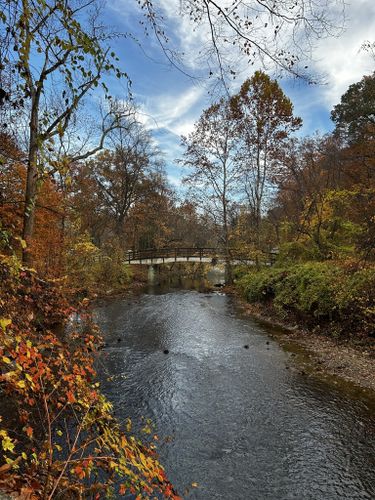
- Rapids Bridge via White Horse and Black Horse TrailEasy•4.6(966)#2 - Rapids Bridge via White Horse and Black Horse TrailLength: 2.2 mi•Est. 53m
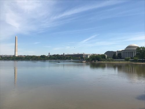
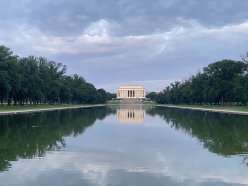
- The National MallA nice paved stroll exploring the National Mall, popular with families. All of the attractions in the area (historical buildings, museums, botanical gardens) have free admission. Half-day guided tours are available in the areas as well. Accessibility: There do not appear to be any designated accessible spaces in the large paved parking lot along Pennsylvania Avenue Northwest at the east end of the trail. Union Station, Capitol South, Federal Center Southwest, Smithsonian, and all D.C. Metro...
- Walking Tour of Monuments and MemorialsEasy•4.6(549)#6 - Walking Tour of Monuments and MemorialsLength: 11.3 mi•Est. 3h 28mA scenic walk from the White House, along the National Mall, around the Tidal Basin to the Capitol. This is a great way to see all of the Monuments and Memorials of Washington DC, each unique and important in its own way. The walk starts at the White House and continues through the National Mall, along the Reflecting Pool, around the Tidal Basin, and eventually ends at the US Capitol Building and Supreme Court. This tour will take you through many significant eras in the history of the...
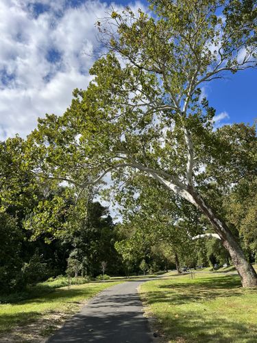
- Valley Trail, Holly Trail, Pine Trail, Muddy TrailModerate•4.6(600)#7 - Valley Trail, Holly Trail, Pine Trail, Muddy TrailLength: 4.0 mi•Est. 1h 25m
- Western Ridge Trail to Valley Trail and Fort de RussyEasy•4.7(509)#8 - Western Ridge Trail to Valley Trail and Fort de RussyLength: 4.5 mi•Est. 1h 49m
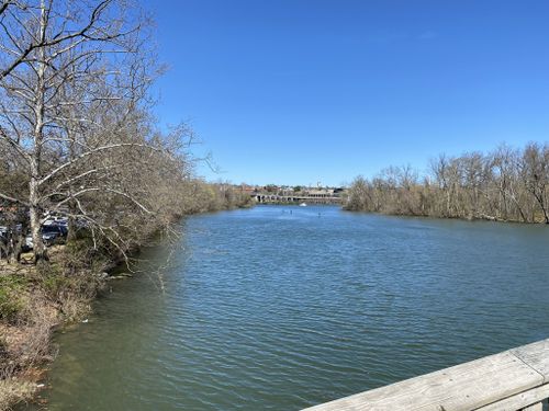
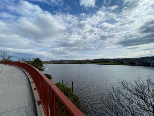
- Anacostia Riverwalk TrailCome walk, jog, bike, or take the dog for a stroll on this beautiful gentle paved trail in Anacostia. This route connects to many other paved trails in the area if you wish to extend your trip. Accessibility: There are at least 4 designated accessible spaces in the large paved parking lots off of Anacostia Drive at the start of the trail at Anacostia Park East. All of them are van-accessible with striped access aisles. The trail surface is paved (with railings at bridges), smooth, and...
Showing results 1 - 10 of 69
Helpful reviews of trails in District of Columbia
Took the Metro train into DC (Parked car at Shady Grove station, free on weekends, got a SmartTrip card for $2, added $4 for round trip, rode Red train to Gallery Place, switched to Yellow or Green train, then got off at Archives station, took 45 min or so) to walk the National Mall trail. Was unusually warm, high 80s, so I managed to complete only a third (a hairpin loop) of the 5-mile trail but had a nice visit to the National Gallery of Art to see the Dutch and Flemish paintings (quite remarkable that G. David's Rest on the Flight into Egypt paintings were done 500 years ago and somehow I could feel its timelessness and timeliness during these trying times in our world) and a pleasant stroll through the sculpture garden. As an aside, I've been in MD for two years now, and the southern magnolia trees seem ubiquitous in MD and VA, and today I saw there by the Capitol a tallest I've seen. Supposedly, magnolias are primitive, originating from some 100 million years ago and can live about a hundred years. A million generations... (By comparison, gingko trees go back 200m years [!] and live a thousand years while olive trees originated only 19,000 years ago but live 2000 years.) Most are native to southern US and southern China of all places, so maybe there's a common ground for these two superpowers after all. It's always enjoyable to visit the wonderful, free museums and walk around the mall, but it can be a bit tiring on warm days like today. A few people were outside sitting on lawns and didn't seem to mind the hot Indian summer weather. I did not see anyone gathering winter stores though.
Top parks in District of Columbia
Top cities in District of Columbia
Frequently asked questions about walking trails in District of Columbia
What is the longest walking trail in District of Columbia?
According to AllTrails.com, the longest walking trail in District of Columbia is C & O Canal Towpath Trail. This trail is estimated to be 48.0 mi long.
Which walking trail has the most elevation gain in District of Columbia?
District of Columbia: With an ascent of 1,112 ft, Western Ridge Trail has the most elevation gain of all of the walking trails in the area. The next highest ascent for walking trails is Palisades, Glover Archbold, and Woodley Loop with 941 ft of elevation gain.
Adventure anywhere
Top 2 cities
Top 15 parks
Top 15 trails
