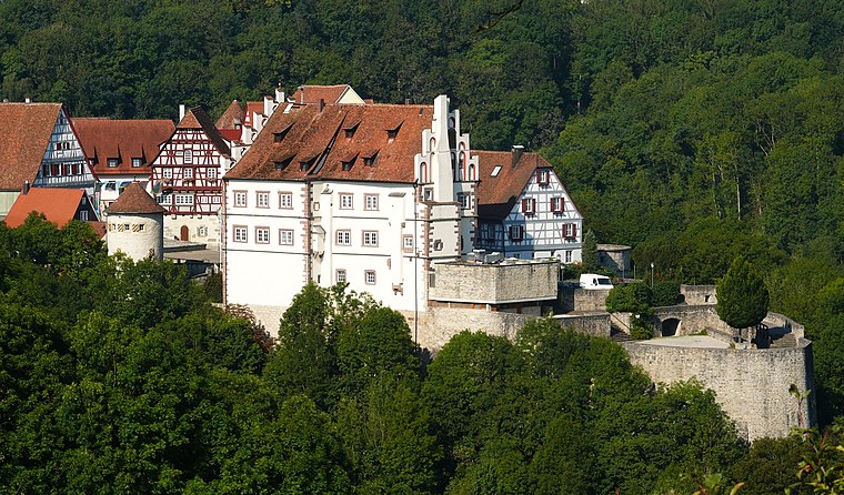
Schwäbisch Hall
Schwäbisch Hall is a county in Schwäbisch Hall, Stuttgart, Baden-Württemberg and has about 36,500 residents. Schwäbisch Hall is situated nearby to the hamlets Kerleweck and Kleinstadel.Notable Places in the Area

Localities in the Area

Schwäbisch Hall
- Type: County with 36,500 residents
- Category: locality
- Location: Schwäbisch Hall, Schwäbisch Hall, Stuttgart, Rhine-Neckar, Baden-Württemberg, Germany, Central Europe, Europe
- View on OpenStreetMap
Latitude
49.11506° or 49° 6' 54" northLongitude
9.87431° or 9° 52' 28" eastPopulation
36,500Elevation
322 metres (1,056 feet)United Nations Location Code
DE SHLOpen Location Code
8FXF4V8F+2POpenStreetMap ID
node 240057707OpenStreetMap Feature
place=countyGeoNames ID
2835481Schwäbisch Hall Satellite Map
© OpenStreetMap, Mapbox and Maxar
Also Known As
- Dutch: Schwäbisch Hall
- Japanese: シュヴェービッシュ・ハル
- Latin: Hale Suevice
- Latin: Halla Suevica
- Swedish: Schwäbisch Hall
- Hall
- Schwaebisch Hall
Other Places Named Schwäbisch Hall
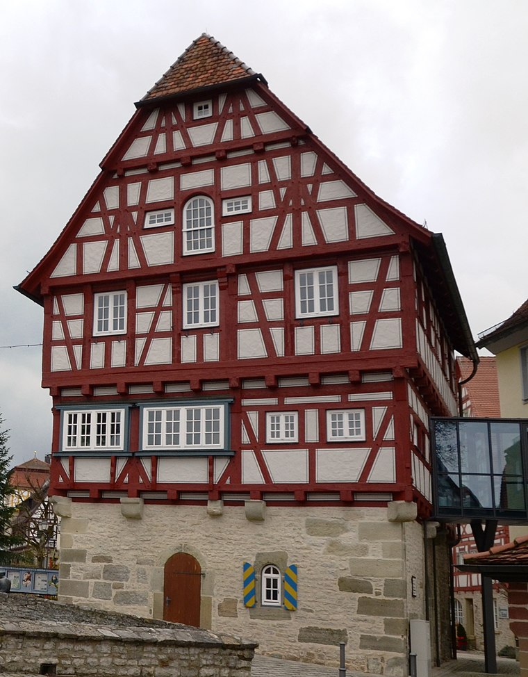
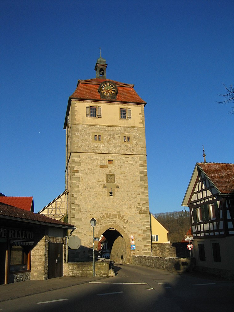
In the Area
Schwäbisch Hall is situated close to the hamlets Hohenstadt and Großstadel.
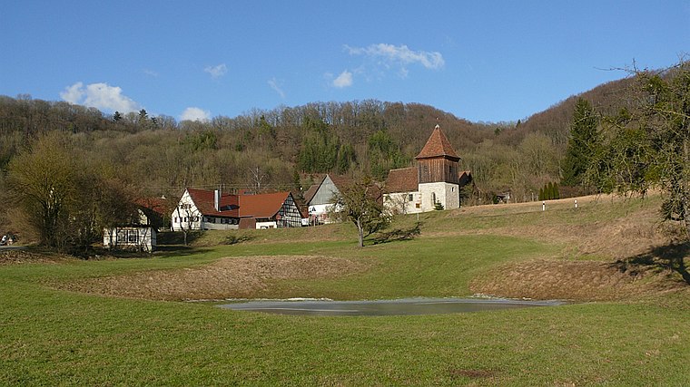
Localities
- OberscheffachHamlet
- JagstrotHamlet
- KleinaltdorfNeighborhood
- Haller EbeneLocality
- BuchHamlet
- GroßaltdorfVillage
Landmarks
- Burgstall HohenstattArchaeological site
- NeunbronnResidence
- Quellgruppe NeunbronnSpring
- Burgruine HohensteinCastle
- Gipsbruch ÄulesbergQuarry
- Burgruine AnhausenCastle
Popular Destinations in Rhine-Neckar
Escape to a Random Place
Discover the village Clyde River in Prince Edward Island, Canada and the locality Chino Mulla in Khyber Pakhtunkhwa, Pakistan.
About Mapcarta. Thanks to Mapbox for providing amazing maps. Data © OpenStreetMap contributors and available under the Open Database License. Text is available under the CC BY-SA 4.0 license, excluding photos, directions and the map. Photo: marsupium photography, CC BY-SA 2.0.