Penn
Penn is a village and civil parish in Buckinghamshire, England, about 3 miles north-west of Beaconsfield and 4 miles east of High Wycombe. The parish's 3,991 acres cover Penn village and the hamlets of Penn Street, Knotty Green, Forty Green and Winchmore Hill.Photo: Sealman, Public domain.
Notable Places in the Area

Localities in the Area
Tylers Green
Village

Photo: John Salmon, CC BY-SA 2.0.
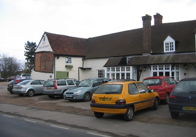
Tylers Green is a village in the civil parish of Chepping Wycombe, Buckinghamshire, England.
Knotty Green
Village
Knotty Green was once a rural hamlet in the Buckinghamshire Chiltern Hills. Knotty Green is situated 1½ miles southeast of Penn.
Penn
- Type: Village
- Description: village and civil parish in Buckinghamshire, England
- Categories: civil parish and locality
- Location: Penn, Chiltern District, Buckinghamshire, South East England, England, United Kingdom, Britain and Ireland, Europe
- View on OpenStreetMap
Latitude
51.63302° or 51° 37' 59" northLongitude
-0.68795° or 0° 41' 17" westElevation
545 feet (166 metres)United Nations Location Code
GB PNNOpen Location Code
9C3XJ8M6+6ROpenStreetMap ID
node 352793578OpenStreetMap Feature
place=villageGeoNames ID
2640448Wikidata ID
Q1769761Penn Satellite Map
© OpenStreetMap, Mapbox and Maxar
Also Known As
- Arabic: بنن
- Armenian: Փեն
- Breton: Penn
- Catalan: Penn
- Cebuano: Penn (parokya)
- Cebuano: Penn
- Chinese: Penn
- Dutch: Penn
- Egyptian Arabic: بنن
- English: Penn, Buckinghamshire
- French: Penn
- German: Penn
- Hebrew: פן
- Irish: Penn
- Italian: Penn (Buckinghamshire)
- Japanese: ペン
- Ladin: Penn
- Min Nan Chinese: Penn (Buckinghamshire)
- Norwegian: Penn
- Norwegian Bokmål: Penn
- Persian: پن، باکینگهامشر
- Polish: Penn
- Swedish: Penn (parish)
- Swedish: Penn, Buckinghamshire
- Welsh: Penn, Swydd Buckingham
- Welsh: Penn
Other Places Named Penn
Localities in the Area
- Pennhouse GroveLocality
- Rayners Avenue Mobile Home ParkNeighborhood
- Penn StreetVillage, 1½ miles northeast
- TotteridgeSuburb, 2 miles west
- Winchmore HillVillage, 2 miles northeast
Landmarks in the Area
- Pistle's PondPond
- Tylers Green First SchoolSchool
- Tylers Green Village HallTown hall
- Twichels WoodForest
- Pugh's WoodForest
Popular Destinations in Buckinghamshire
Discover Milton Keynes, Aylesbury, High Wycombe and Buckingham.
Escape to a Random Place
Discover other destinations in the world.
About Mapcarta. Thanks to Mapbox for providing amazing maps. Data © OpenStreetMap contributors and available under the Open Database License. Text is available under the CC BY-SA 4.0 license, excluding photos, directions and the map. Description text is based on the Wikipdia page Penn. Photo: Sealman, Public domain.