

We're proud to launch MapPlanner subscriptions, giving you access to even more features with unlimited use!
Subscribing to the Explorer version allows you to :
- Explore and create your own unlimited routes!
- Choose from a range of mapping styles:...
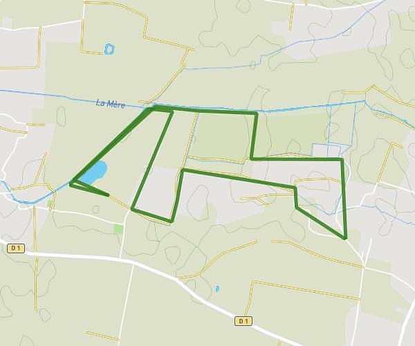
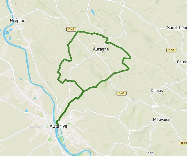
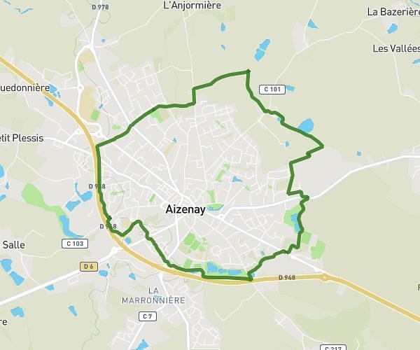
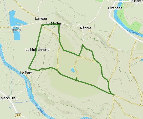
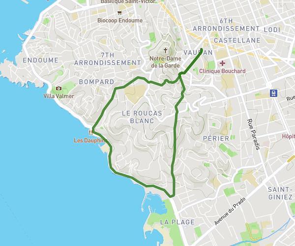
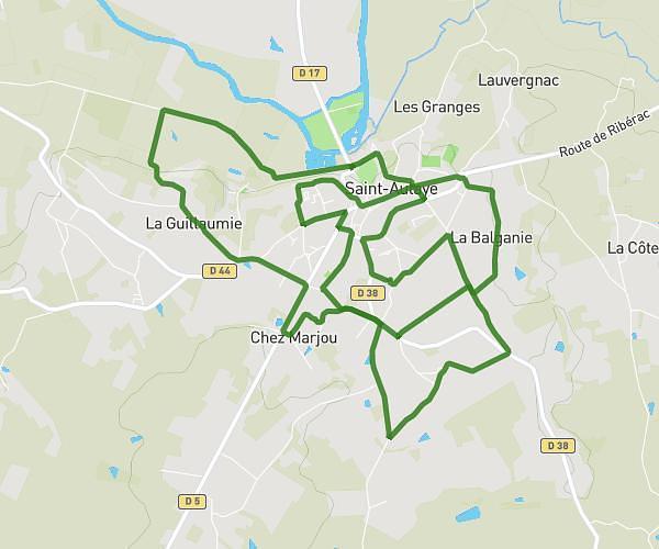
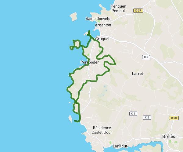
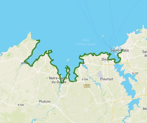
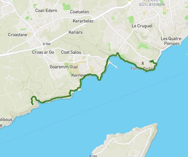
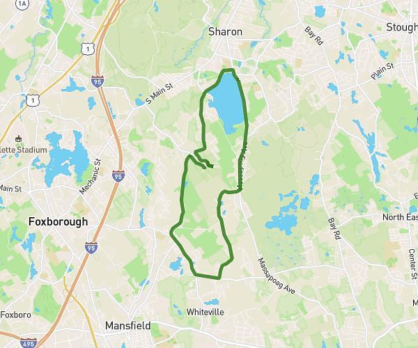
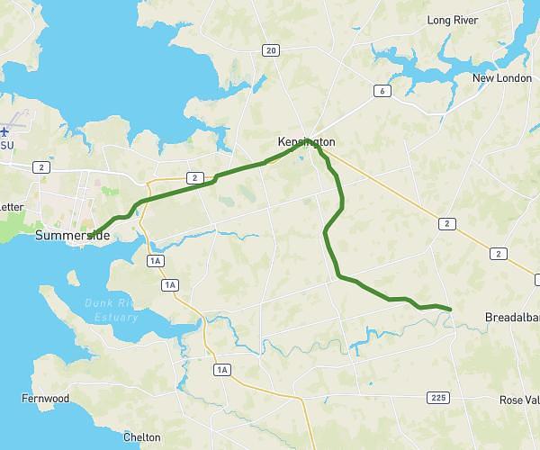
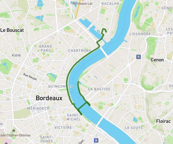
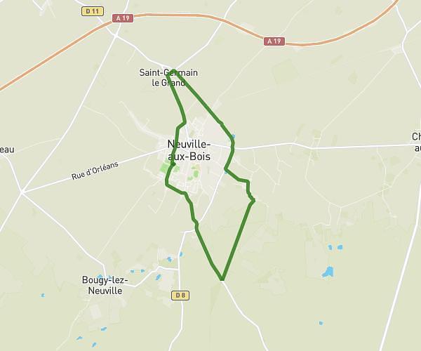
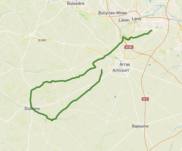
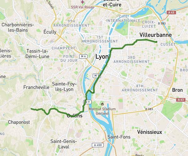
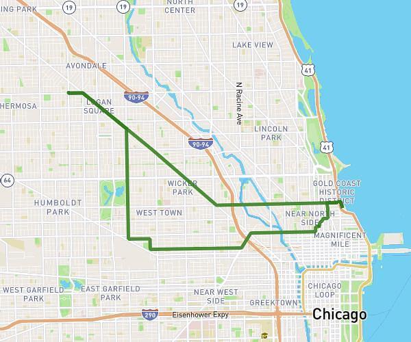
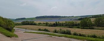
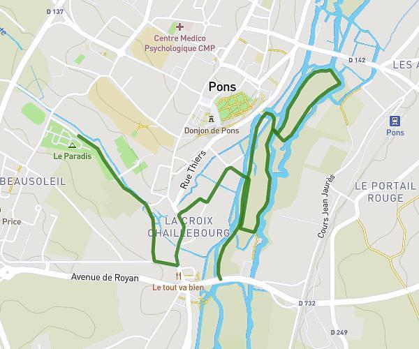
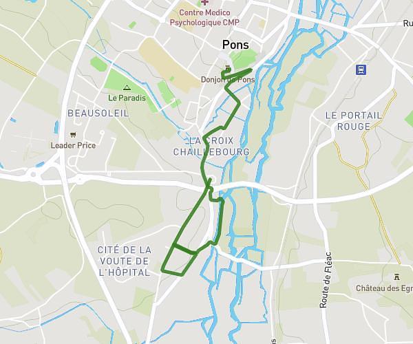
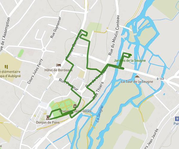
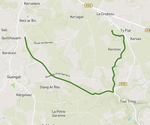
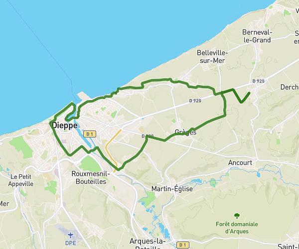
From the map or an address, draw your route by simply clicking on the key points. The route will automatically follow the road between the 2 points and calculate the distance covered. Use the automatic return option to follow the route in the opposite direction!
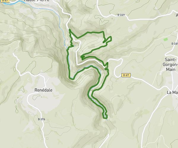
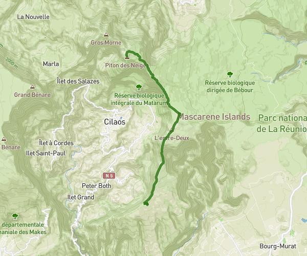
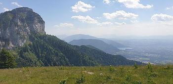
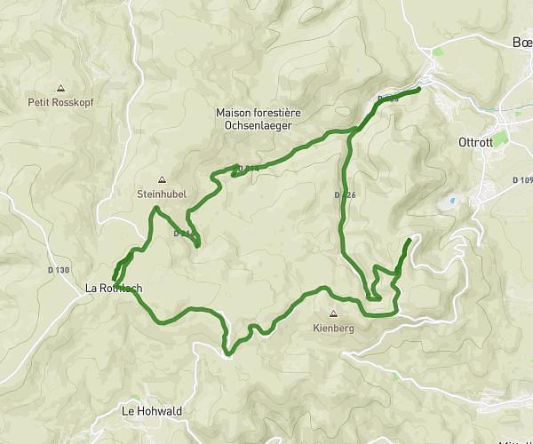
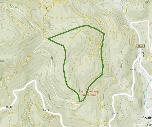
To better estimate the difficulty of your route, display the route elevation and find the high and low points of your route.
Calculate the duration of your jog, hike, bike ride, etc. in just one click, by selecting the type of route. The estimate also takes into account your saved routes!
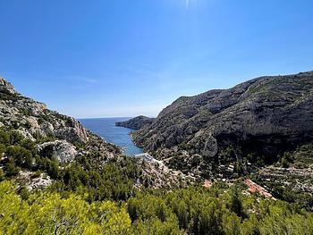
Select the type of map best suited to your needs: city, hiking, satellite view, ...
Images with coordinates are automatically positioned on the map as points of interest!

For each type of outing (running, jogging, cycling or hiking), track your performance over time.
Have you spotted some interesting locations for your next activities? Indicate the planned location directly on the map. Associate a route later and use it to guide you!


Browse our thousands of joggers', hikers' and walkers' routes for your next outing. Filter activities according to your level or time available.
From your connected watch (Garmin, Suunto, Polar, Huawei, Amazfit, Samsung, ...), export your route and then import it directly. If the watch measures your heart rate, you'll also be able to view the heartbeat graph.

Track your position in real time on the map with your orientation. So you can be sure you're following the right path in the right direction!
Discover the latest MapPlanner news and innovations
We're proud to launch MapPlanner subscriptions, giving you access to even more features with unlimited use!
Subscribing to the Explorer version allows you to :
Following your feedback, new features have been added to explore and create more easily your routes and itineraries (walking courses, hiking, ...).
The site is now translated in 5 languages:
If...
By definition, elevation gain is the difference in elevation between two points on the earth's surface. These points are defined by geographic coordinates.
Let's go into more detail to understand how MapPlanner calculates...