Updated on November 7, 2023
Use this free printable map of Italy to help you plan your trip to Italy, to use for a school project, or just hang it up on the wall and daydream about where you’d like to go in Italy!
The free printable map is available in black & white and color versions.
BLACK & WHITE VERSION: Click on the map to open the high-quality, printable PDF in another window:

COLOR VERSION: Click on the map to open the high-quality, printable PDF in another window:

What is the Capital of Italy?

Rome is the capital of Italy. It’s located in the region of Lazio, in central Italy.
Which Countries Border Italy?

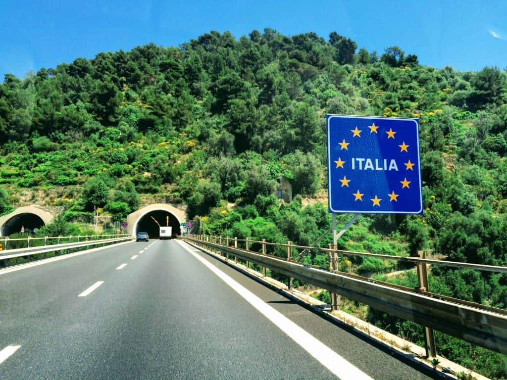
Italy shares borders with 16 countries – six by land, and ten by sea.
Six countries share a land border with Italy:
- France
- Switzerland
- Austria
- Slovenia
- San Marino
- Vatican City
Both San Marino and Vatican City are land-locked by Italy.
Ten countries share maritime (sea) borders with Italy:
- Spain
- Croatia
- Bosnia-Herzegovina
- Montenegro
- Albania
- Greece
- Libya
- Tunisia
- Algeria
- Malta
Which Seas Border Italy?

Italy touches four seas:
- Ligurian Sea (to the west)
- Tyrrhenian Sea (to the west)
- Ionian Sea (to the southeast)
- Adriatic Sea (to the east)
These seas are part of the larger Mediterranean Sea.
How Many Regions Does Italy Have?

Italy has 20 Regions:
- Abruzzo
- Basilicata
- Calabria
- Campania
- Emilia-Romagna
- Friuli Venezia Giulia
- Lazio
- Liguria
- Lombardia (Lombardy)
- Marche
- Molise
- Piemonte (Piedmont)
- Puglia (Apulia)
- Sardegna (Sardinia)
- Sicilia (Sicily)
- Toscana (Tuscany)
- Trentino-Alto Adige
- Umbria
- Valle d’Aosta (Aosta Valley)
- Veneto
There are five autonomous regions: Friuli Venezia Giulia, Sardegna (Sardinia), Sicilia (Sicily), Trentino-Alto Adige, and Valle d’Aosta (Aosta Valley).
In the 20 regions (regioni) of Italy, there are 107 provinces (province) and 7,904 towns (comuni).
Population of Italy

The population of Italy is just over 59 million.
Cities on the Map of Italy
This printable map is labeled with the following cities in Italy:
- Agrigento
- Amalfi
- Ancona
- Bari
- Bolzano
- Bologna
- Brindisi
- Cagliari
- Capri
- Catania
- Como
- Ferrara
- Florence
- Genoa
- Ischia
- La Spezia
- Lecce
- Livorno
- Lucca
- Matera
- Milan
- Modena
- Naples
- Noto
- Olbia
- Otranto
- Padova
- Palermo
- Parma
- Perugia
- Pesaro
- Pescara
- Pisa
- Pistoia
- Ragusa
- Ravenna
- Siena
- Siracusa
- Sorrento
- Taormina
- Trapani
- Trento
- Treviso
- Trieste
- Turin
- Udine
- Venezia
- Verona
Some smaller towns aren’t shown on the map. You may want to learn more about some of them:
Check out our other printable maps of Italy:
Printable Map of Italy for Kids
Printable Italy Train Map
Source: Istat, 2021.


