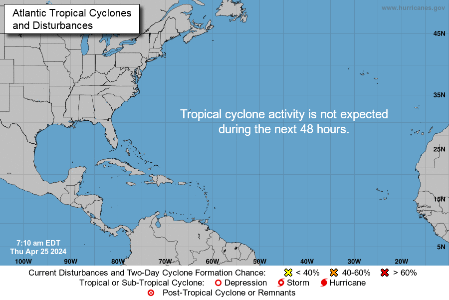
National Hurricane Center reports tropics remain quiet Monday, May 20
 Cheryl McCloud
Conditions remain quiet in the tropics, according to this morning's tropical outlook issued by the National Hurricane Center.
No tropical cyclone activity is expected during the next 48 hours.
The 2023 Atlantic hurricane season started with an unnamed subtropical storm in January. Months later, Tropical Storm Arlene formed in the Gulf of Mexico, developing into a tropical depression June 1 — the official start of hurricane season — and a tropical storm on June 2. The short-lived storm remained west of Florida and reached maximum sustained winds of 40 mph.
The 2024 Atlantic hurricane season is predicted to be very active due to the combination of La Niña and extremely warm water temperatures. Both favor the development of tropical cyclones.
While the official start of hurricane season is June 1, tropical storms and hurricanes have formed earlier. Since 2003, there have been 15 tropical cyclones that have formed before June 1. Most of those pre-season storms formed in May.
The first named storm for 2024 will be Alberto.
Here's the latest update from the NHC as of 8 a.m. May 20:
What is out there and how likely are they to strengthen?

- Gulf of Mexico:
- A few showers are visible on satellite in the southeastern Gulf of Mexico while the tail end of a cold front extends across the northeastern Gulf.
- Scattered showers are expected over the Straits of Florida today.
- Dense haze is occurring in the western and central Gulf from agricultural fires in Mexico, including the Bay of Campeche.
- Caribbean Sea:
- Conditions are dry in the Caribbean, except for scattered showers over Panama and Costa Rica.
- South-central Caribbean has 6- to 9-foot seas.
- Dense haze caused from agricultural fires in Mexico is noted across portions of the northwestern Caribbean, including the Gulf of Honduras. It's expected to continue to thin as the week progresses.
- Atlantic Ocean:
- A cold front extends from near Bermuda to Northeast Florida. Combined with an upper-level trough, a few showers and isolated thunderstorms are possible off South Florida.
- The front is expected to move southeast and stall along a line southwest of Bermuda to Southeast Florida late Tuesday.
Who is likely to be impacted?
Forecasters urge all residents to continue monitoring the tropics and to always be prepared.
That advice is particularly important for what is expected to be a very active hurricane season.
Weather watches and warnings issued in Florida
When is the Atlantic hurricane season?
The Atlantic hurricane season runs from June 1 through Nov. 30.
When is the peak of hurricane season?
The peak of the season is Sept. 10, with the most activity happening between mid-August and mid-October, according to the Hurricane Center.
National Hurricane Center map: What are forecasters watching now?
Systems currently being monitored by the National Hurricane Center include:

Excessive rainfall forecast
What's next?
We will continue to update our tropical weather coverage daily. Download your local site's app to ensure you're always connected to the news. And look for our special subscription offers here.