Clewer
Clewer is a village in Wedmore, Sedgemoor District, England. Clewer is situated close to the hamlet Crickham and the locality Cheddar Moor.Notable Places in the Area
Cheddar Gorge
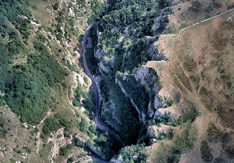
Photo: Arpingstone, Public domain.
Cheddar Gorge is a limestone gorge in the Mendip Hills, near the village of Cheddar, Somerset, England. Cheddar Gorge is situated 2½ miles northeast of Clewer.
Gough's Cave
Cave
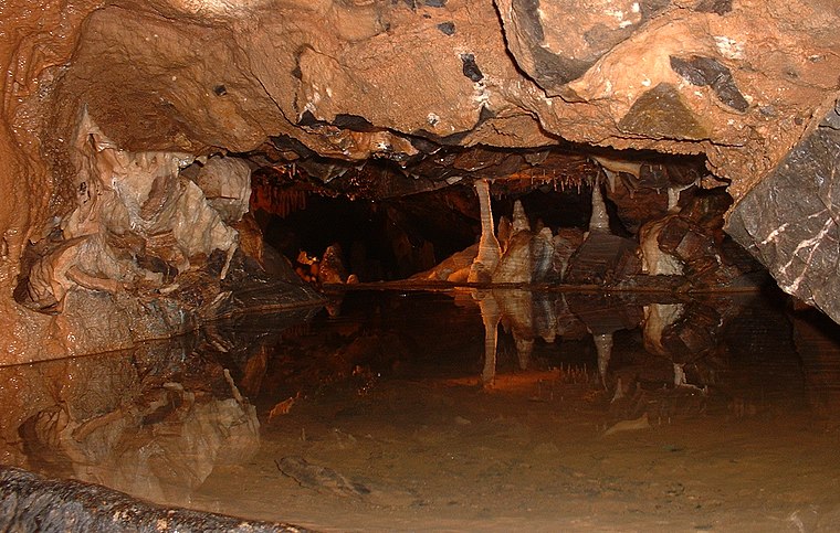
Photo: Rwendland, CC BY-SA 4.0.
Gough's Cave is located in Cheddar Gorge on the Mendip Hills, in Cheddar, Somerset, England. Gough's Cave is situated 2½ miles northeast of Clewer.
Cheddar Reservoir
Reservoir
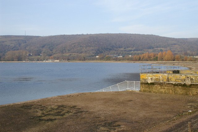
Photo: Adrian and Janet Quantock, CC BY-SA 2.0.
Cheddar Reservoir is an artificial reservoir in Somerset, England, operated by Bristol Water. Cheddar Reservoir is situated 1½ miles north of Clewer.
Localities in the Area
Cheddar
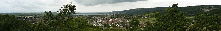
Photo: Delta 51, CC BY-SA 4.0.
Cheddar is a large village, with the largest gorge and caves in Britain.
Wedmore
Village

Photo: Roger Cornfoot, CC BY-SA 2.0.
Wedmore is a large village and civil parish in the county of Somerset, England. Wedmore is situated 2 miles south of Clewer.
Draycott
Village

Photo: Adrian and Janet Quantock, CC BY-SA 2.0.
Draycott is a village in Somerset, England, neighbouring the village of Cheddar on the southern edge of the Mendip Hills Area of Outstanding Natural Beauty. Draycott is situated 2 miles east of Clewer.
Clewer
- Type: Village
- Category: locality
- Location: Wedmore, Sedgemoor District, Somerset, West Country, England, United Kingdom, Britain and Ireland, Europe
- View on OpenStreetMap
Latitude
51.25539° or 51° 15' 19" northLongitude
-2.80289° or 2° 48' 10" westOpen Location Code
9C3V754W+5ROpenStreetMap ID
node 29490409OpenStreetMap Feature
place=villageClewer Satellite Map
© OpenStreetMap, Mapbox and Maxar
Other Places Named Clewer
Localities in the Area
- CrickhamHamlet
- Cheddar MoorLocality
- CocklakeVillage
- HytheHamlet
- Wedmore MoorLocality
Landmarks in the Area
- Nyland HillPeak
- Lascot HillPeak
- Isle of Wedmore Golf CourseGolf course
- Cheddar CemeteryCemetery, 1½ miles north
- All Weather PitchPark, 1½ miles northeast
Escape to a Random Place
Discover other villages in the world.
About Mapcarta. Thanks to Mapbox for providing amazing maps. Data © OpenStreetMap contributors and available under the Open Database License. Text is available under the CC BY-SA 4.0 license, excluding photos, directions and the map. Photo: matthewhartley369, CC BY-SA 2.0.