Heavy Snow in the Northern Rockies; Severe Weather Across the Plains; Critical Fire Weather in the Southwest
Heavy wet snow and gusty winds are expected in the higher elevations of Idaho, western Montana, and Wyoming Thursday. Meanwhile, another round of severe storms are expected to develop across the central and southern Plains. Damaging winds, tornadoes and large hail are the primary threats. Further west, dry conditions and gusty winds will lead to critical fire weather concerns in the Southwest Read More >
LOADING...
Click a location below for detailed forecast.
Last Map Update: Wed, May. 22, 2024 at 10:04:23 pm AST
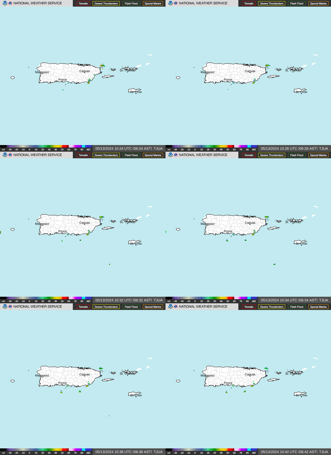
TJUA Radar
Rainfall Risk
Rainfall Forecast
Rip Current Risk
Tropical Weather Outlook

Increasing moisture and a developing trough/low pressure will bring wet and unsettled conditions for the islands today. The wettest days should be today (Wednesday) and tomorrow (Thursday), but enough moisture will linger into early in the weekend. Groups of showers and thunderstorms will increase the risk of flooding, mudslides and rapid river rises.

An increase in shower and thunderstorm activity, driven by abundant moisture and unstable conditions (deep layered trough), will result in an enhanced risk of flooding across Puerto Rico and the Virgin Islands from Wednesday onwards. Prolonged periods of moderate to locally heavy rainfall will enhance the risk of flooding, river rises, and mudslides. It is possible that some rivers overflow, and that flash floods develop as well. Residents and visitors are advised to stay tuned to forecast updates, especially those that live or commute in flood prone areas. -------------------------------------------- Un aumento de la actividad de aguaceros y tormentas eléctricas generadas por abundante humedad y condiciones inestables (vaguada de capa profunda), resultará en un riesgo elevado de inundaciones para Puerto Rico y las Islas Vírgenes a partir del miércoles. Períodos prolongados de lluvias de moderadas a localmente fuertes aumentarán el riesgo de inundaciones, crecidas de ríos y deslizamientos de tierra. Es posible que algunos ríos se desborden y que también se produzcan inundaciones repentinas. Se recomienda que los residentes y visitantes estén atentos a las actualizaciones del pronóstico, especialmente aquellos que viven o viajan en áreas propensas a inundaciones. There is an elevated risk for flooding of urban areas and small streams for the interior and western PR due to the influence of a surface trough that will continue to impact the local weather conditions for the next few days.

No tropical cyclones in the next few days. | No se esperan ciclones tropicales en los próximos días.


 Graphical Hazardous Weather Outlook
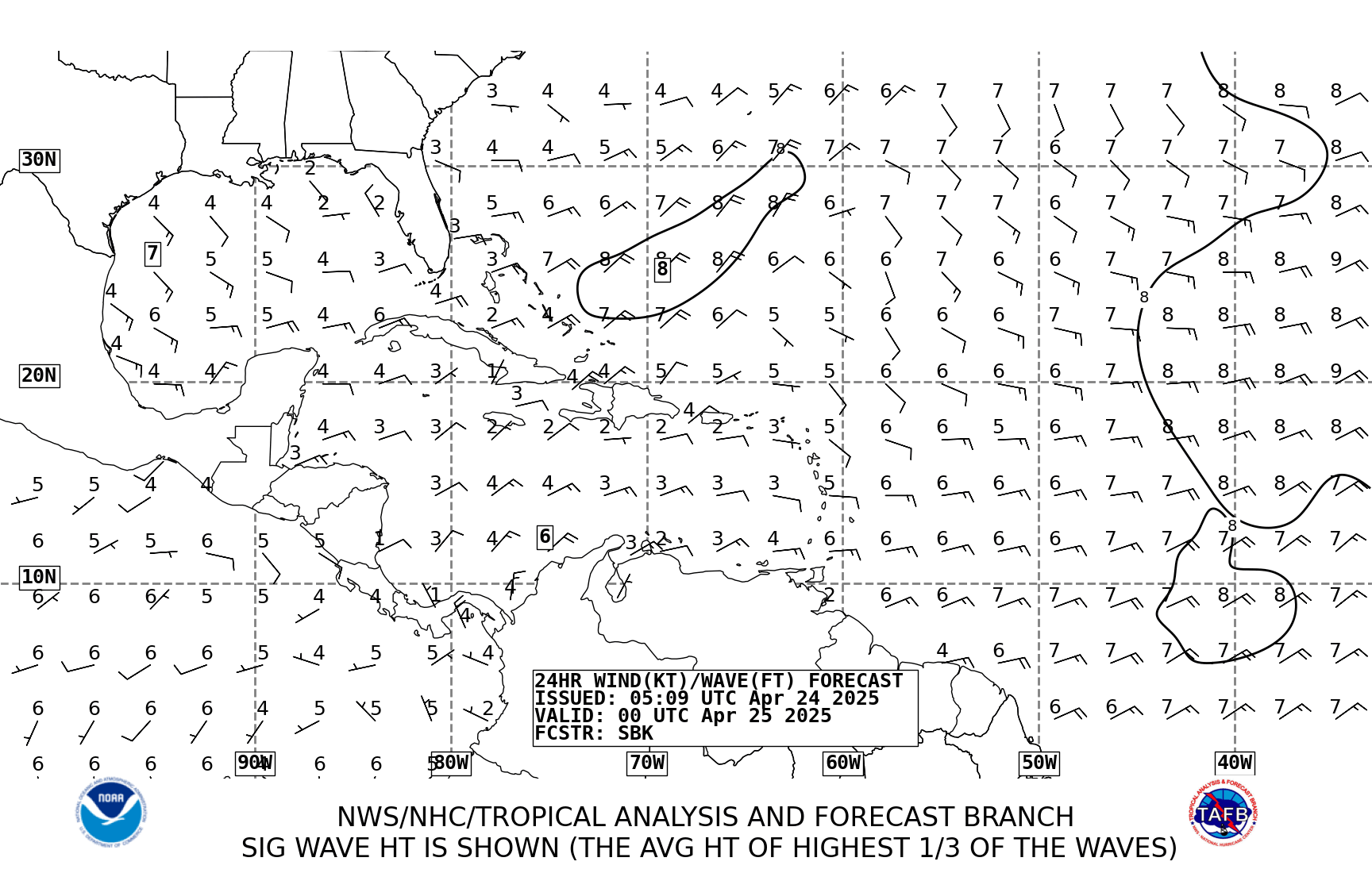
 Tropical Analysis
 Tropical Weather
 Regional Satellite
  Puerto Rico and U.S. Virgin Islands
 Local Radar