 OFFICIAL SITE OF THE STATE OF NEW JERSEY

New Jersey Geological & Water Survey
Bureau of Water Resources & Geoscience
What’s New?
Check out the 4/5/2024 NJ Earthquake page!
April 5, 2024
At approximately 10:20 am on Friday April 5th, New Jersey experienced a magnitude 4.8 earthquake- the first of this size in almost a century. The earthquake occurred about three miles below ground, near Whitehouse Station in Readington Township, Hunterdon County. Within minutes of the event, data from seismic monitoring networks were reporting location, magnitude, and depth information to the Department. The initial quake was followed by over forty aftershocks, with one coming in at a magnitude of 3.8 and an additional ten at 2.0 or higher- with more still occurring. This earthquake is a close second to the largest ever recorded in New Jersey- a magnitude 5.3 which occurred on November 30, 1783, with an epicenter in Rockaway Township Morris County. While numerous earthquakes occur every year in New Jersey, the vast majority of them are small and rarely felt by the public. Most, but not all, are associated with the Ramapo Fault System which is in northern New Jersey. Stay tuned for more updates and check out Earthquake Risks in New Jersey and an interactive map of earthquakes in NJ.
July 19, 2023
Governor Murphy Signs Legislation Designating Franklinite as State Mineral (Governor’s Office News Release)
February 14, 2023
As part of the 2023 – 2028 Water Supply Plan update, DWSG developed an ArcGIS Online product called “New Jersey Water Withdrawal Data Summary Viewer”. The interactive map allows users to select, plot and download water withdrawal data by either municipality or 14-digit hydrologic unit. It provides an alternative way of viewing withdrawal data that is also included in the DGS13-1 file. Data can be viewed statewide or by selecting one or more of the geographic divisions. Downloads, in CSV format, are reflective of municipality or HUC14 selection. Data can also be sorted by source of water (e.g. groundwater, surface water, etc.) or by use of water (e.g. potable, agriculture, power generation, etc.). The dashboard can be viewed at New Jersey Water Withdrawal Data Summary Viewer. This new graphical and interactive format should increase user access and accessibility.
OFM 160 Karst Features of The Newton West Quadrangle Sussex and Warren Counties, New Jersey
OFM 159 Karst Features of the Newton East Quadrangle Sussex County, New Jersey
OFM 158 Bedrock Geologic Map Of The Belvidere Quadrangle Warren County, New Jersey
OFM 157 Geology of the Browns Mills Quadrangle Burlington and Ocean Counties, New Jersey
OFM 156 Bedrock Geologic Map Of The Pennington Quadrangle Hunterdon and Mercer Counties, New Jersey
OFM 154 Surficial Geologic Map Of The Blairstown Quadrangle Warren County, New Jersey
OFM 153 Bedrock Geologic Map Of The Bloomsbury Quadrangle warren and Hunterdon Counties, New Jersey
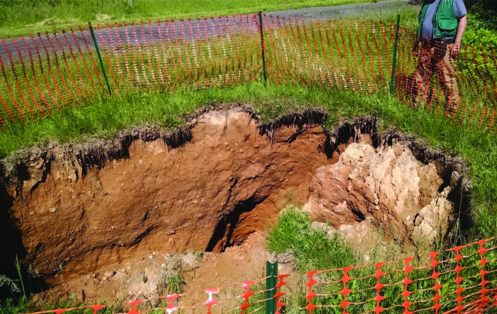
Sinkholes
Do you have a sinkhole on your property? Learn about the types of sinkholes found in New Jersey, sinkhole and remediation, and resources that NJGWS provides. Find guidance for solid waste sinkholes in our sinkhole guidance document.
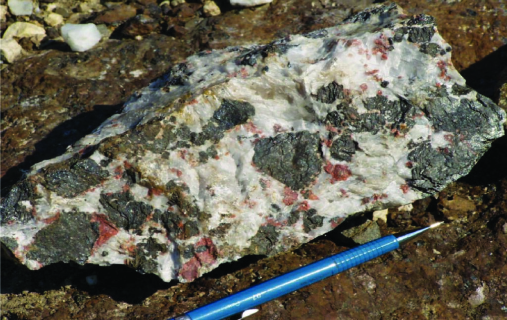
Rock Identification
Need help identifying a rock or mineral? Please provide a description of the rock/mineral you wish to be identified, where the rock/mineral was found, and a picture of the rock/mineral that includes a scale for reference to NJGWS.
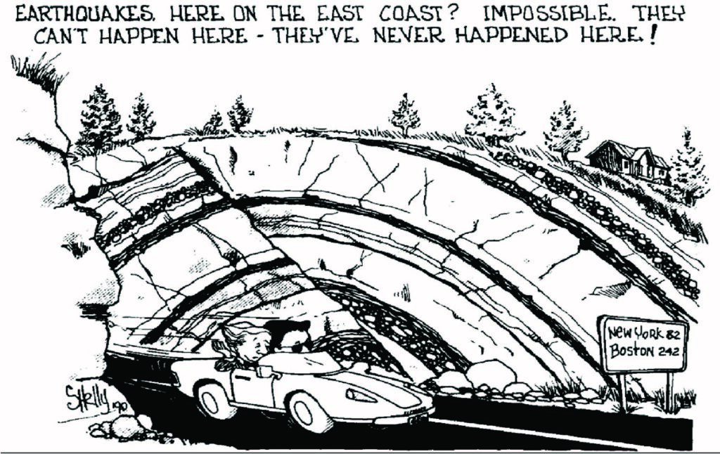
Earthquakes
Do you think you felt an earthquake?
Find information about Earthquake Risk in New Jersey,
Earthquakes Epicentered in New Jersey, and outside of New Jersey. Report possible earthquake occurrences in New Jersey to NJGWS. Check out the 4/5/2024 NJ Earthquake page!
Well Permitting
Find information pertaining to Well Permits, Licensures, Exams, and Continuing Education for well drillers and pump installers, the New Jersey State Well Drillers and Pump Installers Examining and Advisory Board, and the Private Well Testing Act.
Water Allocation
Find information pertaining to Water Allocation Permits & Registration, Agricultural Certifications & Registration, Dewatering Permits, Utilization & Diversion, and more.
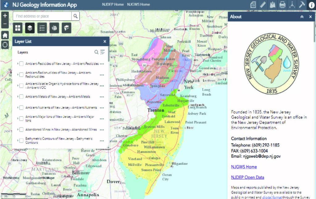
Interactive Mapping
Use the NJ Geology Information Web App to find information about New Jersey’s geology, aquifers, well head protection areas, etc. or the NJ-GeoWeb App to locate areas of interest, interact with the Department’s GIS data, and query related environmental information.
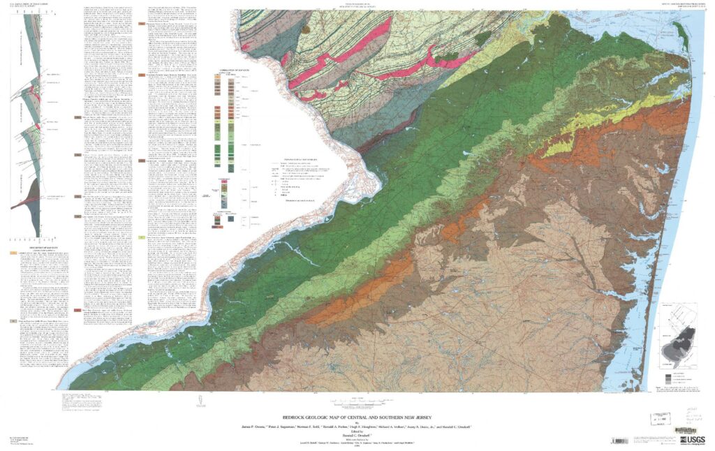
Geologic Maps and Reports
Includes published geologic maps and reports about geophysical and hydrogeologic investigations, water quality data, deep well catalogs, and more.
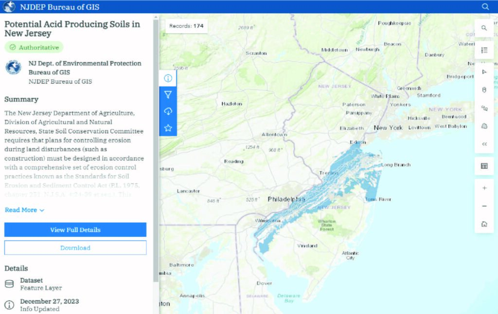
NJGWS Digital Data
Includes data sets compiled for use in Geographic Information System (GIS) software and other software applications stemming from Survey projects.
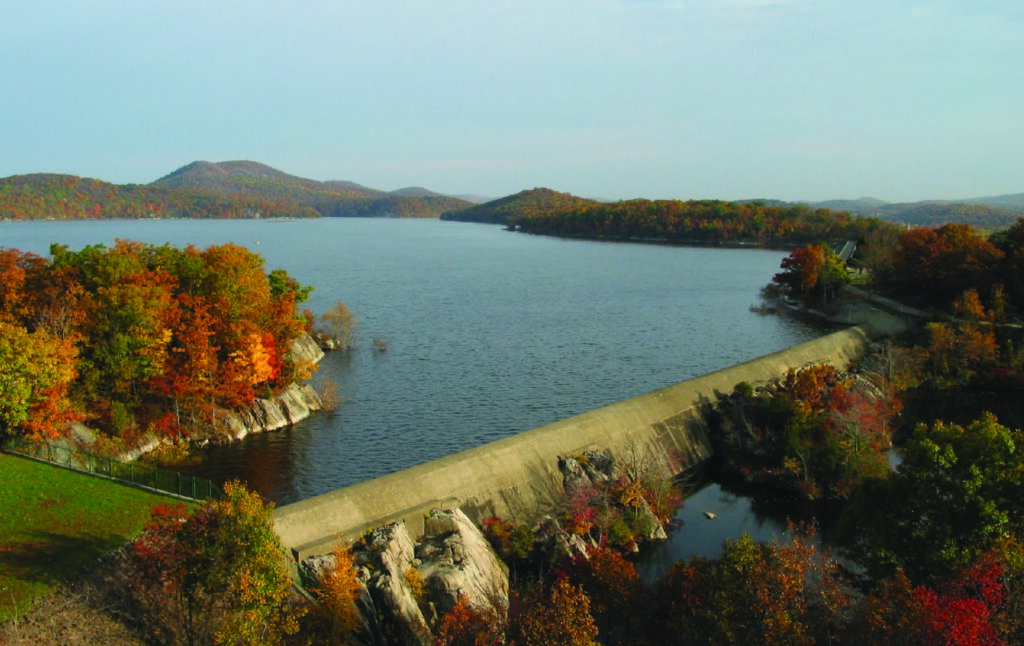
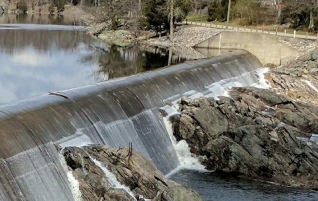
Drought Monitoring
New Jersey Drought Information provides drought status and conditions, as well as real-time drinking-water-supply indicators for precipitation, confined and unconfined groundwater, streamflow, and reservoirs.