Central Chennai
Central Chennai is the modern city centre of Chennai between Coovum and Adyar rivers. It is home to Santhome Church, Marina Beach and the Tamil film industry Kollywood.Photo: Aleksandr Zykov, CC BY-SA 2.0.
Notable Places in the Area
SDAT Tennis Stadium
Stadium

Photo: Matthewmayer, CC BY 2.5.
Sports Development Authority of Tamil Nadu Tennis Stadium, commonly known as SDAT Stadium…
Loyola College
College

Photo: Balajijagadesh, CC0.
Loyola College is a private Catholic higher education institution run by the Society of Jesus in Chennai, Tamil Nadu, India.
Valluvar Kottam

Photo: Jovianeye, CC BY-SA 3.0.
Valluvar Kottam is a monument in Chennai, dedicated to the classical Tamil poet philosopher Valluvar.
Localities in the Area
Choolaimedu
Suburb
Choolaimedu is a large residential and commercial locality in Chennai, Tamil Nadu, India.
Chetpet
Suburb
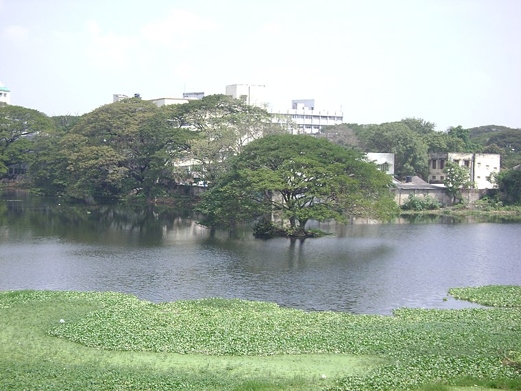
Photo: R Kamal, Public domain.
Chetpet is a neighbourhood in the Indian city of Chennai It is served by the Chetpet railway station in the Beach–Tambaram line of Chennai Suburban Railway.
Kodambakkam
Suburb
Photo: L.vivian.richard, Public domain.
Kodambakkam is a business and residential neighbourhood in Central Chennai, Tamil Nadu, India.
Central Chennai
- Description: part of Chennai city
- Location: Chennai, Chennai district, Tamil Nadu North Coast, Tamil Nadu, Southern India, India, South Asia, Asia
- View on OpenStreetMap
Latitude
13.0541° or 13° 3' 15" northLongitude
80.2379° or 80° 14' 16" eastOpen Location Code
7M52363Q+J5Wikidata ID
Q19457556Central Chennai Satellite Map
© OpenStreetMap, Mapbox and Maxar
Localities in the Area
- MahalingapuramNeighborhood
- CMWSSB Division 113Neighborhood
- CMWSSB Division 110Neighborhood
- NungambakkamSuburb
- Aziz NagarNeighborhood
Popular Destinations in Chennai
Discover North Chennai, South Chennai and West Chennai.
Escape to a Random Place
Explore your world with these selected destinations of excellence.
About Mapcarta. Thanks to Mapbox for providing amazing maps. Text is available under the CC BY-SA 4.0 license, excluding photos, directions and the map. Description text is based on the Wikivoyage page Central Chennai. Photo: Aleksandr Zykov, CC BY-SA 2.0.