
Metropolitan Area Network Pictures, Images and Stock Photos
Browse 317,500+ metropolitan area network stock photos and images available, or start a new search to explore more stock photos and images.
Most popular

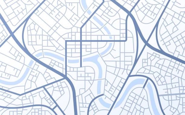
City urban roads and streets abstract map downtown district map.


Smart city and dot point connect Modern Telecom System ,Boundless connection technology concept.Blue tone


Europe and surrounding areas seen from space. Perfectly usable for topics like global business or European economy and culture. High quality 3D rendered image made from ultra high res 20k textures by NASA: https://visibleearth.nasa.gov/images/55167/earths-city-lights, https://visibleearth.nasa.gov/images/73934/topography, https://visibleearth.nasa.gov/images/57747/blue-marble-clouds/77558l


Abstract street map background road map design.
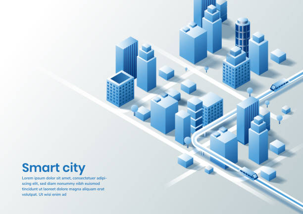
Smart city isometric design concept of simple smart city. You can use for ad, poster, template, business presentation. Vector illustration


Smart city and abstract line and dot connect with gradient line design , big data connection technology concept. 3d render

The United Stated of America seen from space. High quality 3D rendered image, made from ultra high res 20k textures by NASA: https://visibleearth.nasa.gov/images/55167/earths-city-lights, https://visibleearth.nasa.gov/images/73934/topography, https://visibleearth.nasa.gov/images/57747/blue-marble-clouds/77558l

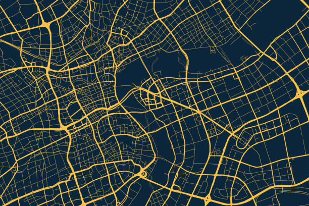
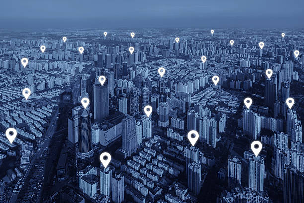
Shanghai, Computer Network, Technology, Big Data, China - East Asia, Cityscape

Data, Chart, Stock Market Data, Digital Display, Graph

California suburbs at night from a drone point of view.
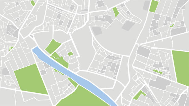
City Urban Streets Roads Abstract Map


Abstract globe with blue lights and red networks. (World Map Courtesy of NASA) (https://visibleearth.nasa.gov/view.php?id=55167)

Glowing connection lines between international airports. High quality 3D rendered image created from textures by NASA: https://visibleearth.nasa.gov/images/55167/earths-city-lights, https://visibleearth.nasa.gov/images/73934/topography

USA from space at night with city lights showing American cities in United States, global overview of North America, 3d rendering of planet Earth. Some elements from NASA (https://eoimages.gsfc.nasa.gov/images/imagerecords/57000/57752/land_shallow_topo_2048.jpg)


Futuristic city VR wire frame with businesswoman walking. 3D generated image.

Global connectivity concept with worldwide communication network connection lines around planet Earth viewed from space, satellite orbit, city lights in Europe, some elements from NASA (https://eoimages.gsfc.nasa.gov/images/imagerecords/90000/90008/europe_vir_2016_lrg.png)

3d rendered cityscape, perfectly usable for all kinds of topics related to traffic, digital communication and modern business networks.

California suburbs at night from a drone point of view.


Europe at night viewed from space with city lights showing human activity in Germany, France, Spain, Italy and other countries, 3d rendering of planet Earth, elements from NASA (https://eoimages.gsfc.nasa.gov/images/imagerecords/55000/55167/earth_lights_lrg.jpg)


High quality 3D rendered image, made from ultra high res 20k textures by NASA: https://visibleearth.nasa.gov/images/55167/earths-city-lights, https://visibleearth.nasa.gov/images/73934/topography, https://visibleearth.nasa.gov/images/57747/blue-marble-clouds/77558l
Gps and search icon technology abstract background.vector illustration

Highly detailed 3d generated globe with glowing connection lines between big cities. Perfectly usable for all kinds of topics related to international business and finance or global data networks. Created from textures by NASA: https://visibleearth.nasa.gov/images/55167/earths-city-lights, https://visibleearth.nasa.gov/images/73934/topography

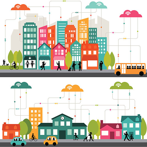
Dynamic connected city

Smart city and abstract dot point connect with gradient line, big data connection technology concept.
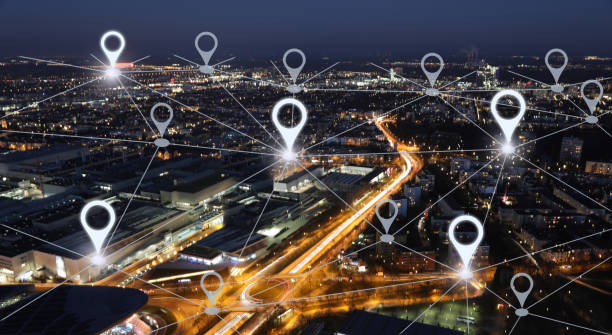
Map pin flat of network connection in city. Network connection concept.

Cities connected with lines on a blue globe.

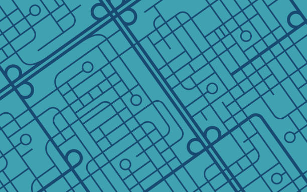
Urban city map background concept.

City, Data, Big Data, City View, City Silhouette, Shanghai, China

High quality 3D rendered image, perfectly usable for topics related to big data, global networks, international flight routes or the spread of a pandemic / computer virus. Textures courtesy of NASA: https://visibleearth.nasa.gov/images/55167/earths-city-lights, https://visibleearth.nasa.gov/images/73934/topography


Connections around planet Earth viewed from space at night, cities connected around the globe by shiny lines, international travel or global business finance, world connectivity, elements from NASA (https://eoimages.gsfc.nasa.gov/images/imagerecords/90000/90008/europe_vir_2016_lrg.png)
Multiple destinations, isometric. Gps tracking map. Track navigation pins on street maps, navigate mapping technology and locate position pin. Futuristic travel gps map or location navigator vector illustration


5G / wifi mesh internet network in villa area
Route Vector Style Editable Stroke Thin Line Icons on a 32 pixel grid with 1 pixel stroke width. Unique Style Pixel Perfect Icons can be used for infographics, mobile and web and so on.