Killin
Killin is a village in Perthshire in the central Highlands of Scotland. Situated at the western head of Loch Tay, it is administered by the Stirling Council area.Photo: Tine.wv, CC BY-SA 3.0.
Notable Places in the Area
Inchbuie
Island

Photo: Wikimedia, CC BY-SA 2.0.
Inchbuie is an island of the River Dochart, near Killin.

Falls of Dochart
Waterfall
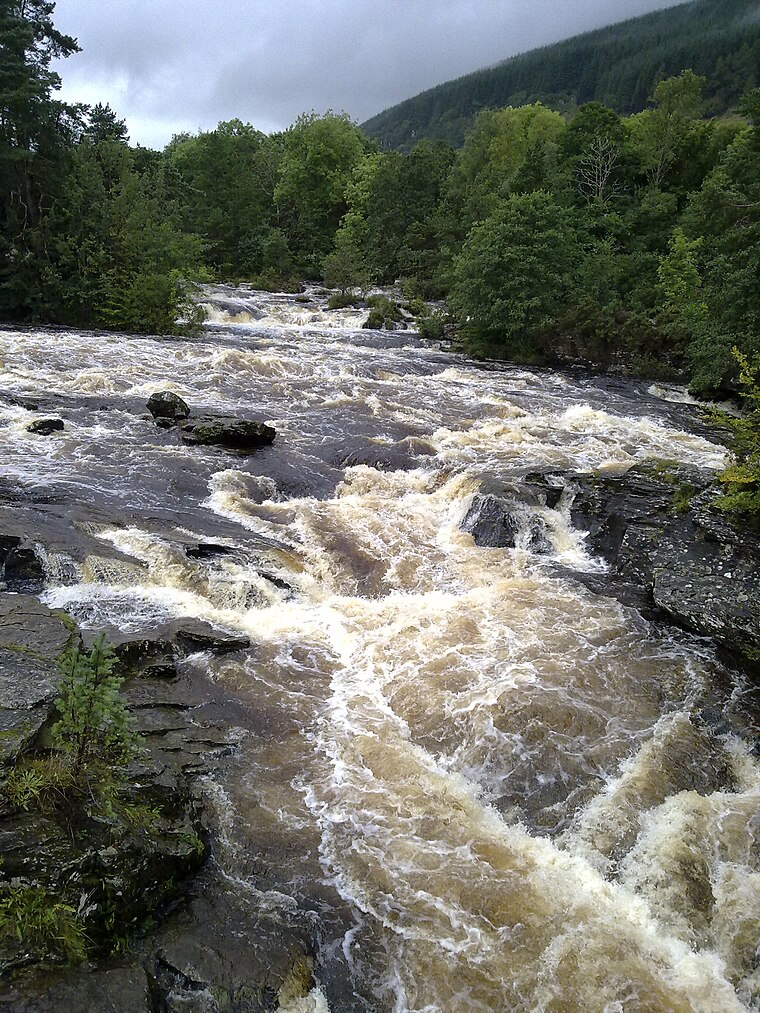
Photo: Nigelcoates, CC BY-SA 3.0.
The Falls of Dochart are a cascade of waterfalls situated on the River Dochart at Killin in Perthshire, Scotland, near the western end of Loch Tay.
Localities in the Area
Killin Stone Circle
Locality

Photo: John Ferguson, CC BY-SA 2.0.
56°27′55″N 4°18′43″W / 56.465318°N 4.312039°W Killin Stone Circle is a prehistoric stone circle situated at the west end of Loch Tay near the village of Killin, Stirling, Scotland.
Ardchyle
Hamlet
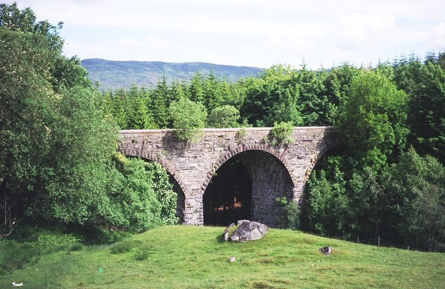
Photo: Wikimedia, CC BY-SA 2.0.
Ardchyle is a small hamlet in Stirling, Scotland. The Glendhu viaduct, just south of Ardchyle, was built for the now disused section of the Callander and Oban Railway which closed in 1965 after a landslide. Ardchyle is situated 3½ miles southwest of Killin.
Auchlyne
Hamlet

Photo: Dave Fergusson, CC BY-SA 2.0.
Auchlyne is a small hamlet in Stirling, Scotland. It is located approximately five miles west… Auchlyne is situated 4½ miles southwest of Killin.
Killin
- Type: Village with 760 residents
- Description: village in Stirling, Scotland, UK
- Category: locality
- Location: Stirling, Scotland, United Kingdom, Britain and Ireland, Europe
- View on OpenStreetMap
Latitude
56.4667° or 56° 28' 0" northLongitude
-4.31961° or 4° 19' 11" westPopulation
760Elevation
381 feet (116 metres)Open Location Code
9C8QFM8J+M5OpenStreetMap ID
node 8079475583OpenStreetMap Feature
place=villageGeoNames ID
2645632Wikidata ID
Q1009402Killin Satellite Map
© OpenStreetMap, Mapbox and Maxar
Also Known As
- Basque: Killin
- Catalan: Killin
- Cebuano: Killin
- Chinese: 基林
- Chinese: 基林地区
- Dutch: Killin
- Egyptian Arabic: كيلين
- French: Killin
- German: Killin
- Irish: Cill Fhinn
- Italian: Killin
- Japanese: キリン (スコットランド)
- Persian: کیلین، اسکاتلند
- Scottish Gaelic: Cill Fhinn
- Scottish Gaelic: Killin
- Spanish: Killin
- Swedish: Killin
- Welsh: Killin
Other Places Named Killin
Localities in the Area
- KillinVillage
- Creag an SgrudaidhLocality, 1½ miles southwest
- Firbush PointLocality, 2 miles east
- MorenishHamlet, 2 miles northeast
- Mid LixHamlet, 2 miles southwest
Landmarks in the Area
- Fingal's StoneArchaeological site
- Killin LibraryLibrary
- Killin Police StationPolice station
- Killin Fire StationFire station
- Breadalbane ParkPark
Escape to a Random Place
Discover other destinations in the world.
About Mapcarta. Thanks to Mapbox for providing amazing maps. Data © OpenStreetMap contributors and available under the Open Database License. Text is available under the CC BY-SA 4.0 license, excluding photos, directions and the map. Description text is based on the Wikipdia page Killin. Photo: Tine.wv, CC BY-SA 3.0.