Downtown Detroit
Downtown Detroit is the central business district of Detroit, bordered by the Lodge Freeway to the west, the Fisher Freeway to the north, Interstate 375 to the east, and the Detroit River to the south.Photo: Wikimedia, CC BY-SA 2.0.
Photo: Mikerussell, CC BY-SA 3.0.
Photo: Derek Gauci, CC BY-SA 4.0.
Notable Places in the Area
Guardian Building

Photo: Mikerussell, CC BY-SA 3.0.
The Guardian Building is a landmark skyscraper and class-A office building in downtown Detroit, Michigan, within the Financial District.
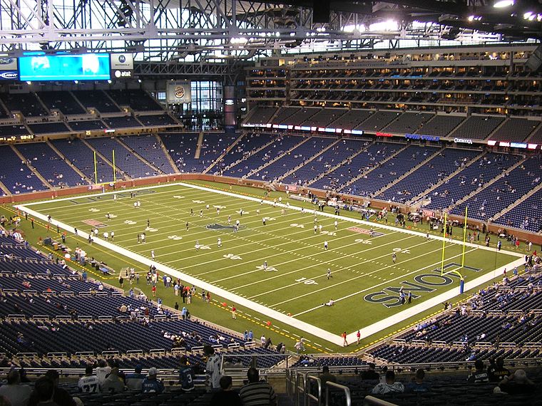
Little Caesars Arena
Stadium

Photo: Adam Bishop, CC BY-SA 4.0.
Little Caesars Arena is a multi-purpose arena in Midtown Detroit.
Localities in the Area
Windsor
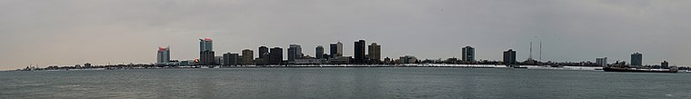
Photo: Tbirdskelding, CC BY-SA 3.0.
Windsor is a mid-sized Canadian city on the southwest tip of Ontario.
Lafayette Park
Neighborhood
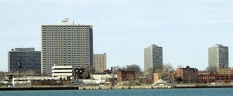
Photo: Mikerussell, CC BY-SA 3.0.
Lafayette Park is a neighborhood located east of Downtown Detroit.
Downtown Detroit
- Type: central business district with 5,290 residents
- Description: central business district in Detroit, Wayne County, Michigan, United States
- Categories: neighborhood and unincorporated community in the United States
- Location: Detroit, City of Detroit, Wayne County, Michigan, Midwest, United States, North America
- View on OpenStreetMap
Latitude
42.3316° or 42° 19' 54" northLongitude
-83.0475° or 83° 2' 51" westPopulation
5,290Open Location Code
86JR8XJ3+J2Wikidata ID
Q5303416Downtown Detroit Satellite Map
© OpenStreetMap, Mapbox and Maxar
Also Known As
- Arabic: داون تاون ديترويت
- Arabic: وسط مدينة ديترويت
- Chinese: 底特律
- Chinese: 底特律下城
- Chinese: 底特律市中心
- English: Detroit/Downtown
- Italian: Downtown Detroit
- Macedonian: Даунтаун Детроит
- Persian: داونتاون دیترویت
- South Azerbaijani: داونتاون دیترویت
- Spanish: Centro De Detroit
- Spanish: Downtown Detroit
Localities in the Area
- GreektownNeighborhood
- West Side Industrial ParkNeighborhood
- Woodward East Historic DistrictNeighborhood
- Brush ParkNeighborhood
Popular Destinations in Detroit
Discover Midtown-New Center, East Side, Southwest Side and Hamtramck-Highland Park.
Escape to a Random Place
Explore your world with these selected destinations of excellence.
About Mapcarta. Thanks to Mapbox for providing amazing maps. Text is available under the CC BY-SA 4.0 license, excluding photos, directions and the map. Description text is based on the Wikivoyage page Downtown Detroit. Photo: Mikerussell, CC BY-SA 3.0.