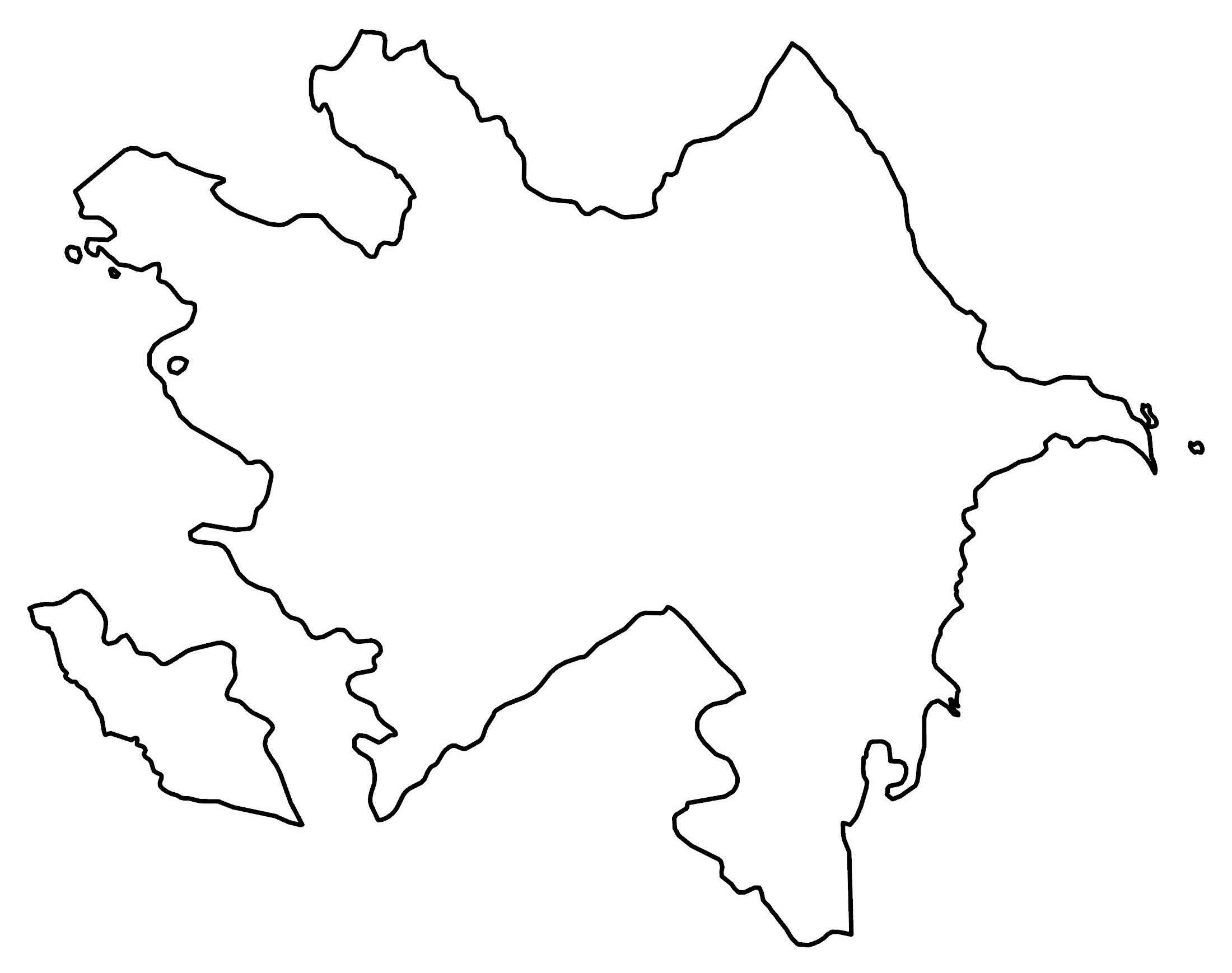
Azerbaijan Map – Cities and Roads
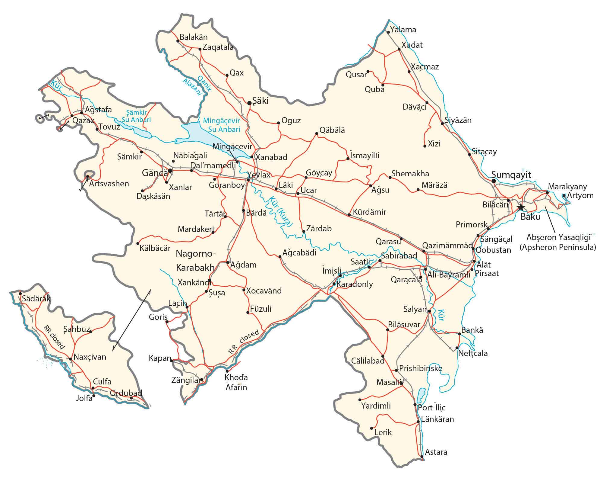
This map of Azerbaijan displays its cities, towns, rivers, lakes, roads, and highways, a country in Western Asia. Also, satellite imagery and elevation maps highlight its topography like the Great Caucasus Mountains and Absheron Peninsula.
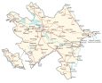
Azerbaijan map collection
You are free to use our Azerbaijan map for educational and commercial uses. Attribution is required. How to attribute?
About the map
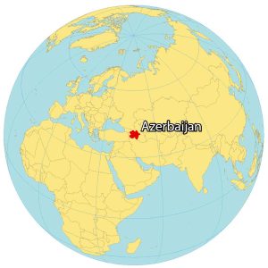
Azerbaijan is a landlocked country along the coastline of the Caspian Sea to the east. It borders four other countries. Both the countries of Georgia and Russia are to the north. Whereas Iran is situated to the south. Finally, Armenia is to the west, which forms a very complex country boundary.
The Nakhchivan Autonomous Republic is an exclave of Azerbaijan that borders Armenia to the southwest. Then, Artsvashen and the Nagorno Karabakh Republic are enclaves that Armenia claims within Azerbaijan. Similarly, Azerbaijan claims 4 enclaves within Armenia including Yukhari Askipara, Yaradullu, Barxudarli, and Karki.
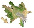
SATELLITE IMAGERY
Azerbaijan Satellite Map
Azerbaijan occupies an area of 86,600 square kilometers (33,400 sq mi), which makes it similar in size to Serbia. According to the FAO, forests cover approximately 11% of the land area of Azerbaijan.
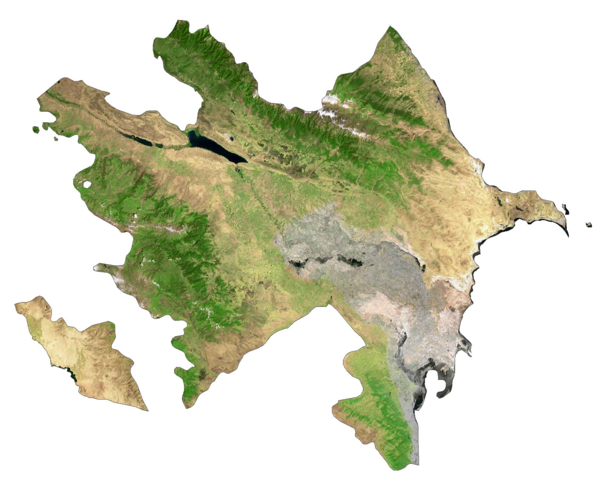
Major lakes include Lake Sarysu, Ağgöl, and Böyükşor. Situated on the east coast of the Caspian Sea, the Absheron Peninsula holds a large metropolitan area of the country. For instance, it’s the location of Baku, the biggest and most populous city of Azerbaijan. Also, it contains the neighboring cities of Sumqayit and Khirdalan as well.
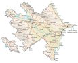
PHYSICAL MAP
Azerbaijan Physical Map
Azerbaijan is mostly large and flat except for its mountain ranges in the western and northern regions. First, the Great Caucasus Mountains stretch 1,200 kilometers through Russia, Georgia, and to the north of Azerbaijan.
Within this mountain range, it contains Mount Bazardüzü. This is Azerbaijan’s highest peak at 4,466 meters (14,652 ft) in height. Its other major mountain chain is the Lesser Caucasus Range which straddles the border of Armenia.
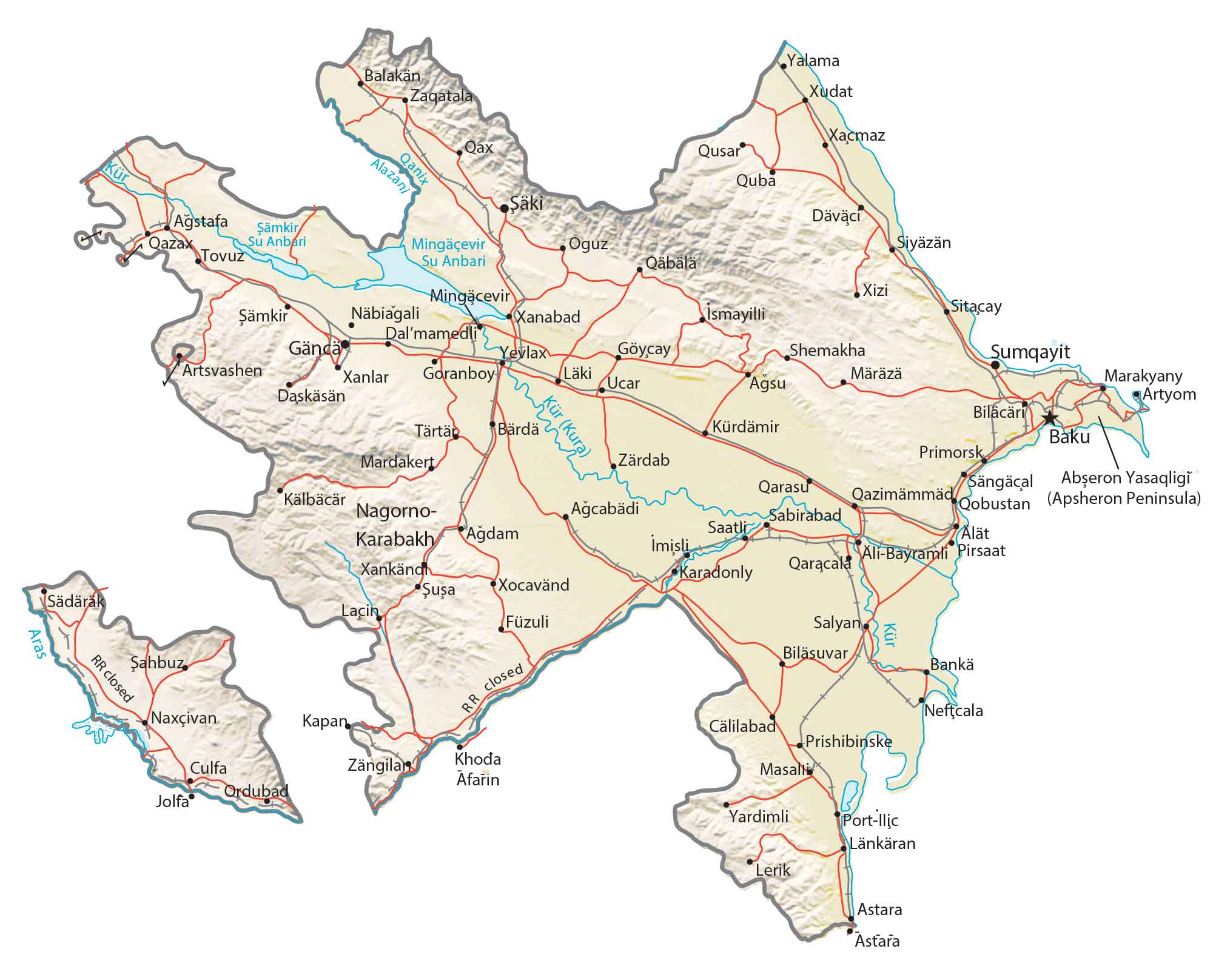
Capital City
Baku
Major cities and towns
Sumqayit
Ganca
Mingachevir
Naxcivan
Nagorno-Karabakh
Lankaran
Shaki
Yevlakh
Cities and towns
Yalama
Qazax
Tovuz
Balakan
Zaqatala
Qax
Xudat
Xacmaz
Qusar
Quba
Oguz
Xizi
Nabiagali
Xanabad
Ismayilli
Sitacay
Yevlax
Shemakha
Artsvashen
Ucar
Mardakert
Primorsk
Lacin
Goris
Saatli
Karadonly
Qaracala
Salyan
Sahbuz
Kapan
Neftcala
Khoda Afarin
Prishibinske
Masalli
Yardimli
Lerik
Astara
Culfa
Jolfa
Ordubad
Reservoirs and rivers
Mingachevir Reservoir
Shamkir Reservoir
Alazani River
Kura River
Qanix River