Ann Arbor Map, Michigan
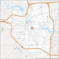

Map of Ann Arbor
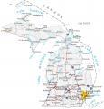
This Ann Arbor map collection is a guide for the Michigan city nicknamed “Tree Town”. It includes a road map, the top 10 things to do, major parks, and an interactive map of the city. As shown in this map of Michigan, the city is situated just west of Detroit.
Ann Arbor is a city in the state of Michigan, America voted it as one of the most livable cities in the country. It has parks, trails, cultural institutions, shopping malls, and entertainment venues.
It is located west of the geographic center of the Detroit metropolitan area. This large and diverse city is home to 120,000 residents. It’s also a leader in education, environmental activism, and human rights.
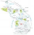
10 Things To Do in Ann Arbor
Downtown Ann Arbor is the main attraction in the city. You can find many shops and restaurants that are open during all hours of the day. Whereas the outskirts of the city is popular for its natural beauty. Some popular destinations are the University of Michigan, Gallup Park, and Matthaei Botanical Gardens.
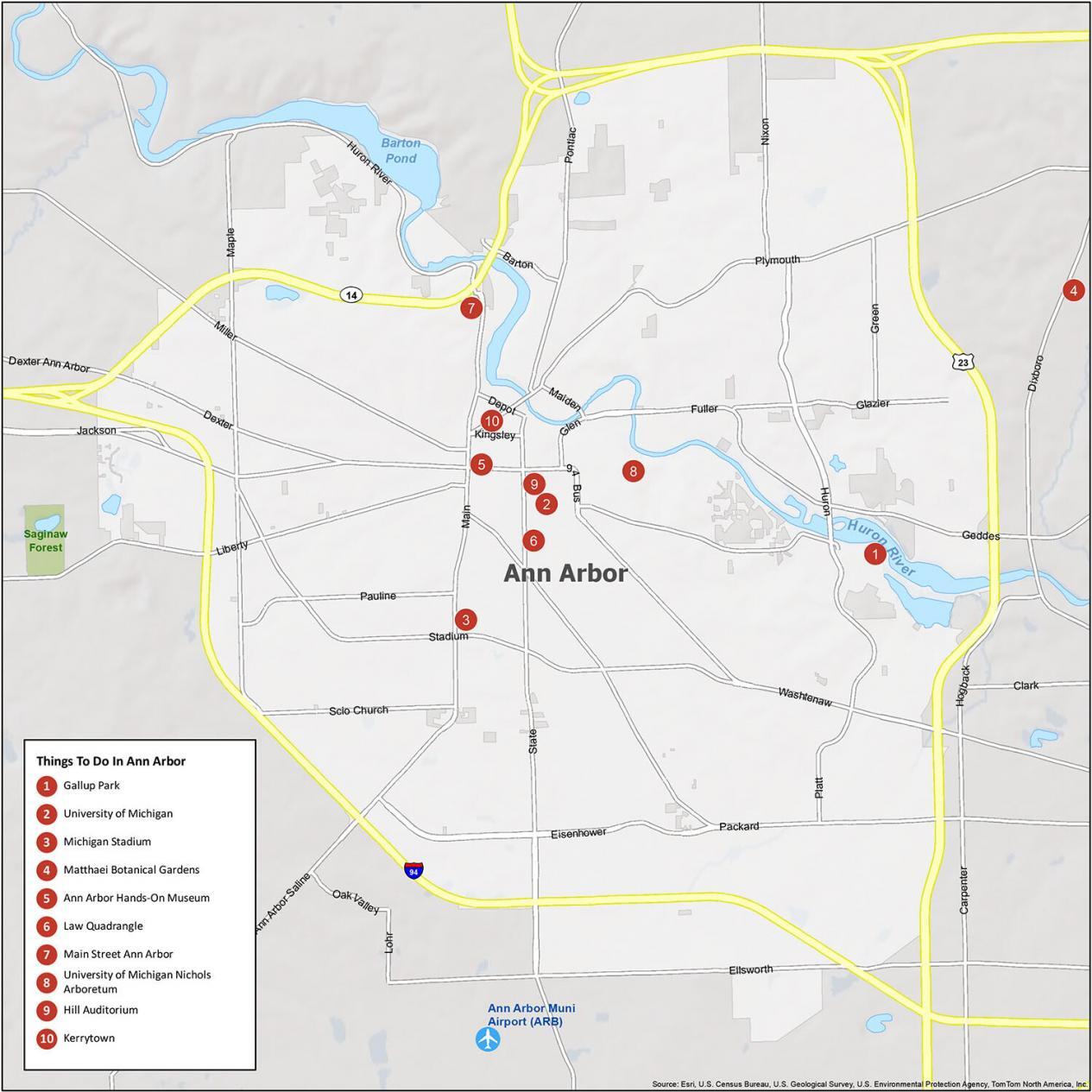
- Gallup Park
- University of Michigan
- Michigan Stadium
- Matthaei Botanical Gardens
- Ann Arbor Hands-On Museum
- Law Quadrangle
- Main Street Ann Arbor
- University of Michigan Nichols Arboretum
- Hill Auditorium
- Kerrytown
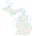
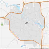
Ann Arbor Reference Map
Ann Arbor, Michigan is a college town with world-class museums and the University of Michigan. It’s also home to some of the most beautiful fall colors in North America. In addition to all these attractions, Ann Arbor has lots of farm-to-table dining. This gives it a bit of a rural feel in a medium-sized city.
Beautiful parks. Even better nature. Take a hike because they’re everywhere! Walkability and bikability (is that a word?) are through the roof in this city. Ann Arbor is alive and happening. Concerts, restaurants, and public libraries. It’s one of the safest cities in America. These are all reasons why we think Ann Arbor is perfect for families.
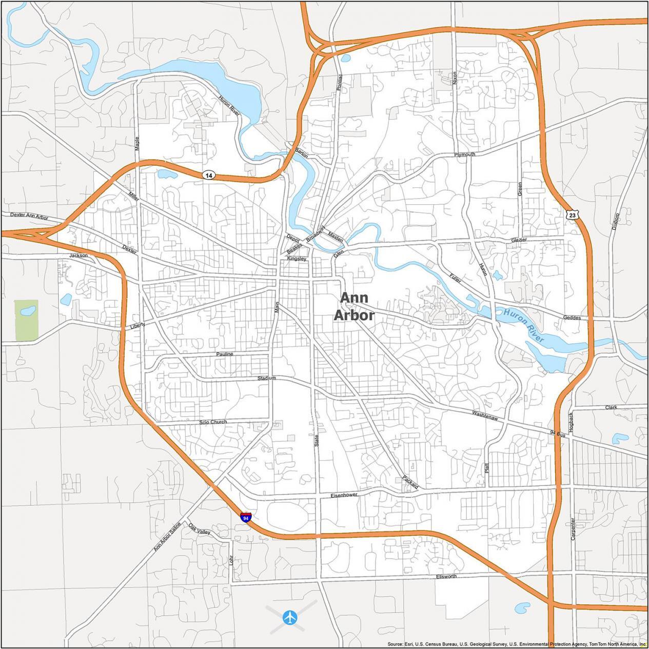
Airport: Ann Arbor Municipal Airport (ARB)
Census Designated Place (CDP): Barton Hills
City: Ann Arbor
Rivers: Barton Pond, Huron River
Forest: Saginaw Forest
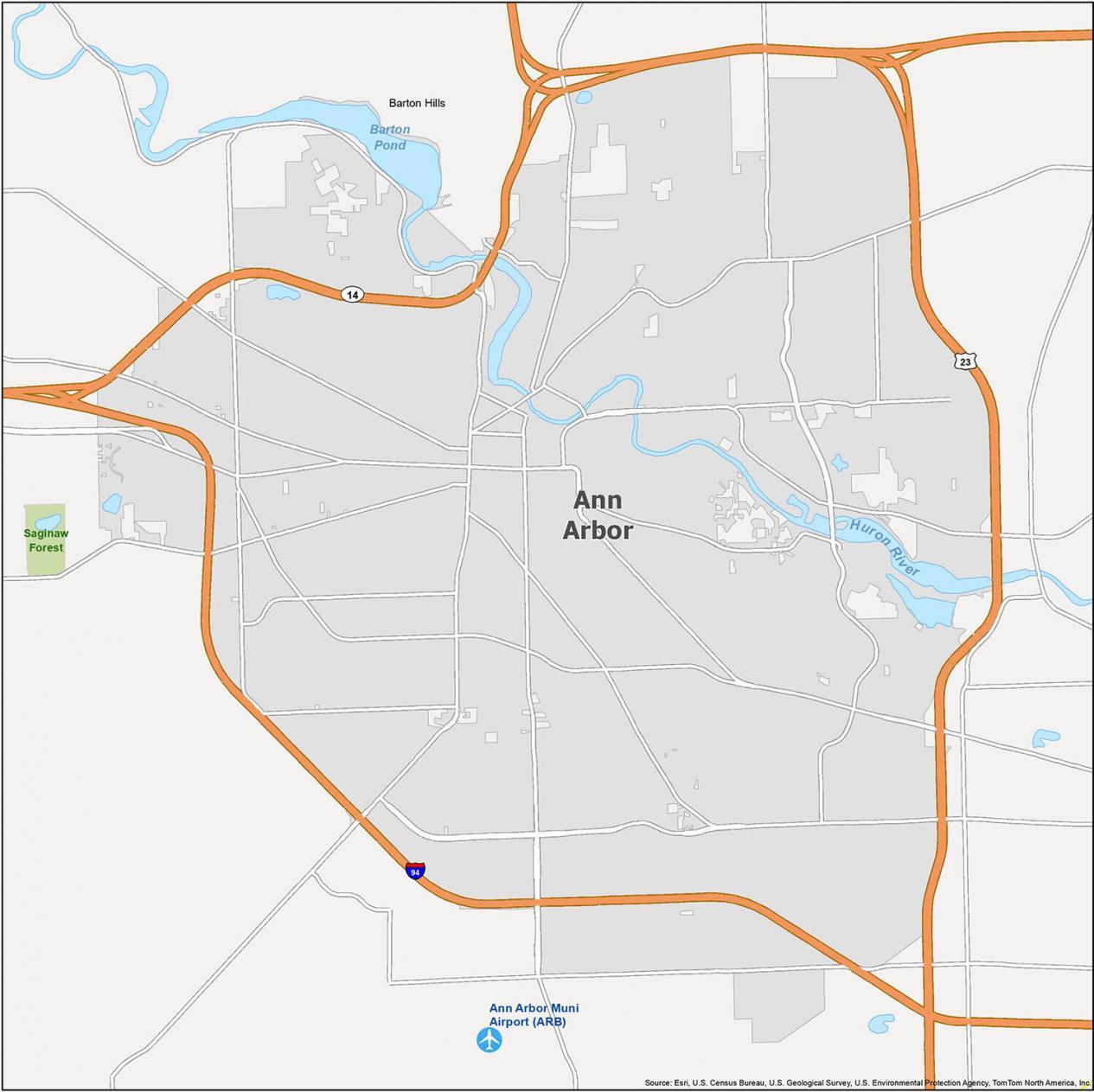
Ann Arbor Road Map
Ann Arbor, Michigan is a city surrounded by wilderness, where nature and culture meet. The city is known for its many universities, cultural events, and of course, its beer gardens. While the city is small in size, the city has natural beauty and cultural opportunities. Take a look at this map of Ann Arbor for your next getaway. Plus, don’t forget our Michigan road map for statewide travel.

Major Highways: I-94
Highways: Highway 14, Highway 23
Parkways: Eisenhower Pky, Huron Pky
Major Roads: Ann Arbor, Saline Rd, Beakes St, Broadway St, Ellsworth Rd, Glen Ave, Huron St, Jackson Ave, Jackson Rd, Maiden Ln, Main St, Packard St, Plymouth Rd, Stadium Blvd, State St, Washtenaw Ave
Roads: Barton Dr, Depot St, Dexter Ave, Fuller Rd, Geddes Ave, Glazier Way, Green Rd, Huron River Dr, Kingsley St, Liberty St, Maple Rd, Miller Ave, Nixon Rd, Packard St, Pauline Blvd, Platt Rd, Pontiac Trl, Scio Church Rd, State St