City of Ridgecrest
City of Ridgecrest is a locality in Kern County, San Joaquin Valley, California. City of Ridgecrest is situated nearby to the hamlet China Lake.Notable Places in the Area
Maturango Museum
Museum
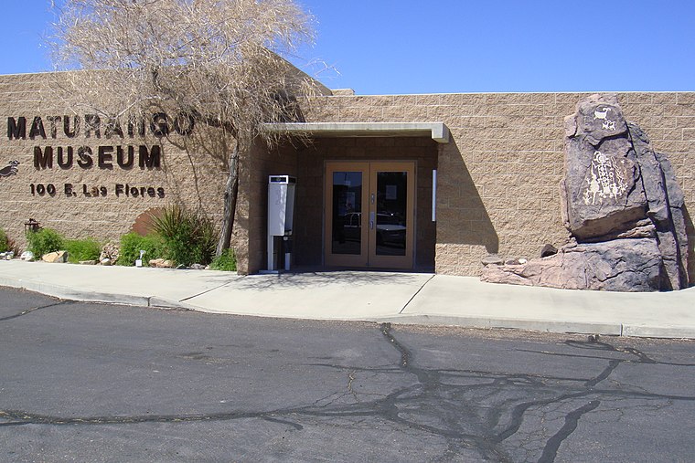
Photo: Qfl247, CC BY-SA 3.0.
Maturango Museum is located in Ridgecrest, California.
Ridgecrest Regional Hospital
Hospital
Ridgecrest Regional Hospital is a hospital located in Ridgecrest, California which is just east of the Southern Sierra Mountains in the Indian Wells Valley.
China Lake Museum
Museum

Photo: Wikimedia, Public domain.
The China Lake Museum is a military museum in Ridgecrest, California focused on the history of Naval Air Weapons Station China Lake and the development of naval aviation armament and technology.
Localities in the Area
Ridgecrest
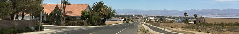
Photo: JMBeggs74, CC BY-SA 4.0.
Ridgecrest is a city in Kern County, California, United States, along U.S. Route 395 in the Indian Wells Valley in northeastern Kern County, adjacent to the Naval Air Weapons Station China Lake.
China Lake
Hamlet
China Lake is an unincorporated community in Kern County, California. China Lake is situated 2 miles northeast of City of Ridgecrest.
City of Ridgecrest
- Type: Locality
- Location: Kern County, San Joaquin Valley, California, United States, North America
- View on OpenStreetMap
Latitude
35.6309° or 35° 37' 51" northLongitude
-117.662° or 117° 39' 43" westElevation
2,280 feet (695 metres)Open Location Code
8574J8JQ+96GeoNames ID
11788881City of Ridgecrest Satellite Map
© OpenStreetMap, Mapbox and Maxar
Localities in the Area
- Rademacher Mining DistrictArea, 6 miles south
- China Lake AcresLocality, 6 miles west
- Inyokern
- SearlesHamlet, 10 miles south
- SkytopHamlet, 10 miles northeast
Landmarks in the Area
Popular Destinations in Kern County
Discover Bakersfield, Delano, Ridgecrest and Wasco.
Escape to a Random Place
Discover other destinations in the world.
About Mapcarta. Thanks to Mapbox for providing amazing maps. Text is available under the CC BY-SA 4.0 license, excluding photos, directions and the map. Photo: Wikimedia, CC0.