West Lavington
West Lavington is a village and civil parish in Wiltshire, England, on the north edge of Salisbury Plain, on the A360 road between Devizes and Salisbury, about 5 miles south of Devizes.Photo: My another account, Public domain.
Notable Places in the Area

Robber's Stone
Historic site

Photo: Hugh Chevallier, CC BY-SA 2.0.
Robber's Stone is a historic site.

Localities in the Area
Imber
Village
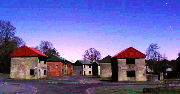 Imber is an uninhabited village and former civil parish within the British Army's training area, now in the parish of Heytesbury, on Salisbury Plain, Wiltshire, England. Imber is situated 4 miles southwest of West Lavington.
West Lavington
- Type: Village
- Description: village and civil parish in Wiltshire, UK
- Categories: civil parish and locality
- Location: Wiltshire, West Country, England, United Kingdom, Britain and Ireland, Europe
- View on OpenStreetMap
Latitude
51.2788° or 51° 16' 44" northLongitude
-1.9959° or 1° 59' 45" westElevation
354 feet (108 metres)Open Location Code
9C3W72H3+GJOpenStreetMap ID
node 34707318OpenStreetMap Feature
place=villageWest Lavington Satellite Map
© OpenStreetMap, Mapbox and Maxar
Also Known As
- Catalan: West Lavington
- Cebuano: West Lavington
- Chinese: West Lavington
- Dutch: West Lavington
- English: West Lavington, Wiltshire
- French: West Lavington
- Hebrew: וסט לאבינגטון
- Irish: West Lavington
- Japanese: ウェスト・ラヴィントン
- Ladin: West Lavington (Wiltshire)
- Ladin: West Lavington
- Latin: Lavington Episcopi
- Min Nan Chinese: West Lavington (Wiltshire)
- Norwegian Bokmål: West Lavington
- Persian: وست لوینگتون، ویلتشر
- Polish: West Lavington
- Swedish: West Lavington, Wiltshire
- Swedish: West Lavington
- Turkish: West Lavington, Wiltshire
- Welsh: West Lavington, Wiltshire
Other Places Named West Lavington
Localities in the Area
- Littleton PanellHamlet
- Little CheverellVillage
- Market LavingtonVillage
- Great CheverellVillage
- Gore CrossHamlet
Landmarks in the Area
- West Lavington Village HallCommunity center
- PavilionSports venue
- Littleton Panell Post OfficePost office
- Dauntsey's SchoolSchool
- St Joseph'sChurch
Popular Destinations in Wiltshire
Discover Stonehenge, Salisbury, Warminster and Swindon.
Escape to a Random Place
Discover other destinations in the world.
About Mapcarta. Thanks to Mapbox for providing amazing maps. Data © OpenStreetMap contributors and available under the Open Database License. Text is available under the CC BY-SA 4.0 license, excluding photos, directions and the map. Description text is based on the Wikipdia page West Lavington. Photo: My another account, Public domain.