San Diego Vector Map stock illustrations
Browse 260+ san diego vector map stock illustrations and vector graphics available royalty-free, or start a new search to explore more great stock images and vector art.
Most popular
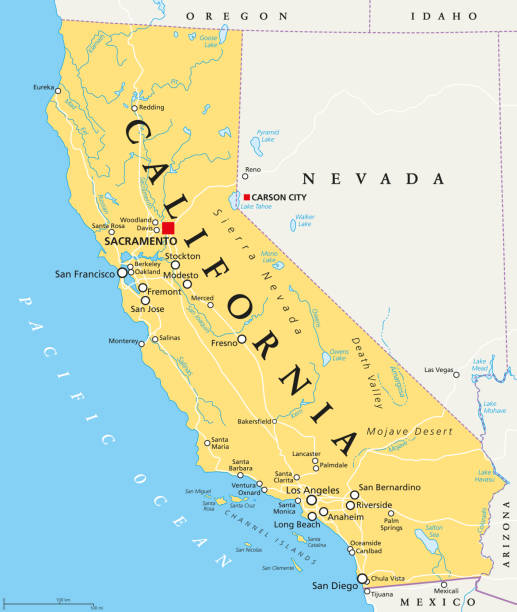
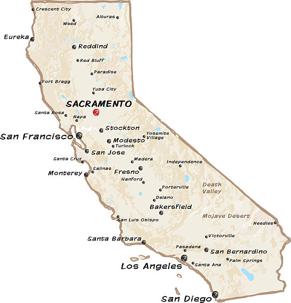
California political map with capital Sacramento, important cities, rivers, lakes. State in the Pacific Region of the United States. Los Angeles, San Francisco. English labeling. Illustration. Vector.
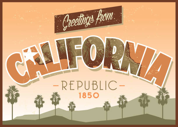
vector of greeting from california in dirty texture
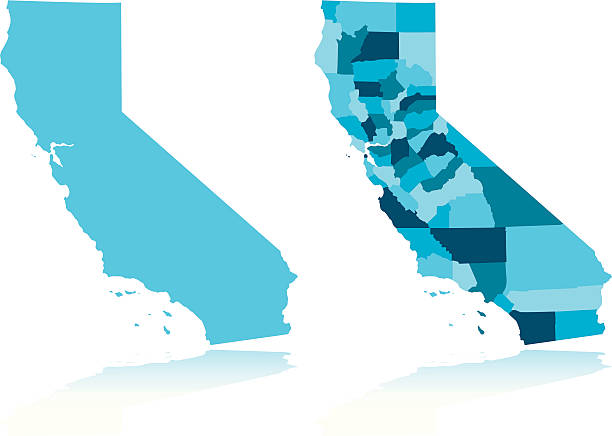
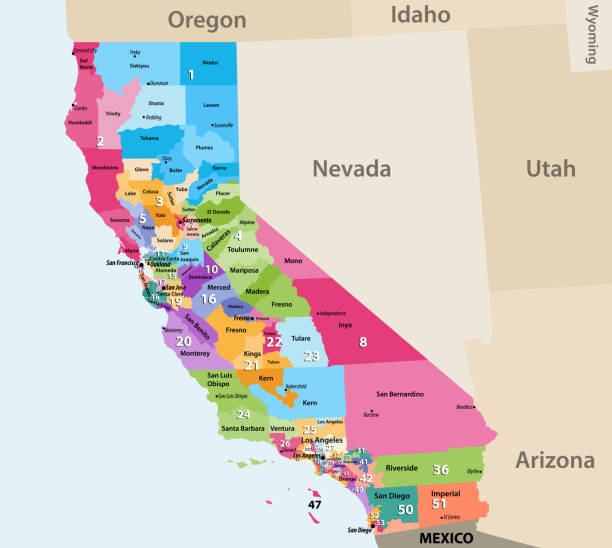
Map of California state with counties
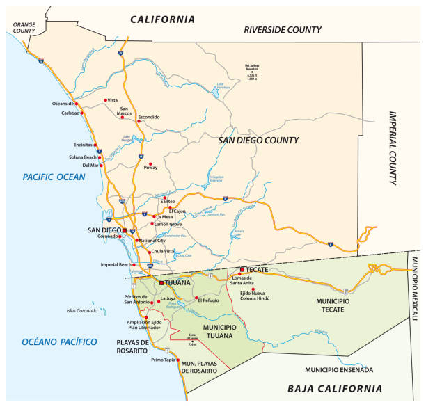
Poster Style Topographic / Road map of San Diego CA. Original map data is public domain sourced from www.census.gov/
Vector of highly detailed map of California with county divisions - global colors for easy edit

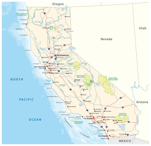
vector road map of the US American State of California.
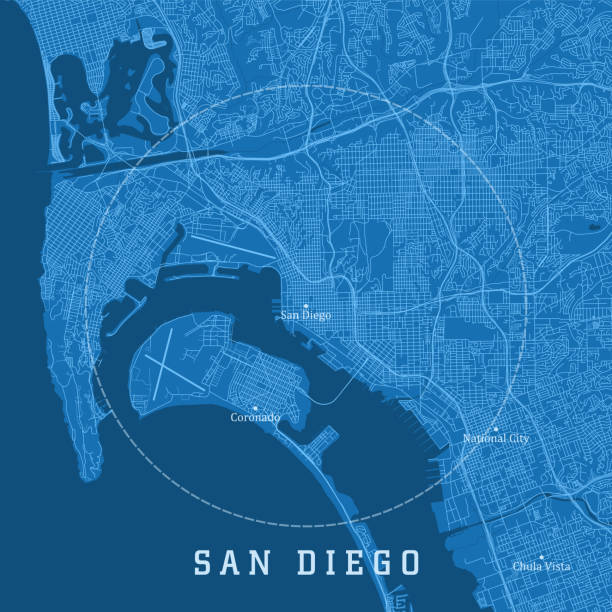
San Diego CA City Vector Road Map Blue Text. All source data is in the public domain. U.S. Census Bureau Census Tiger. Used Layers: areawater, linearwater, roads.
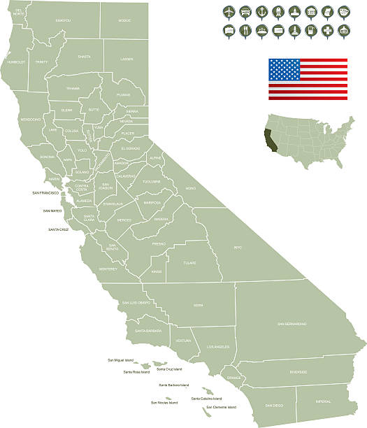
Detailed map of California State with icons of organizations providing services, government organizations and structures.

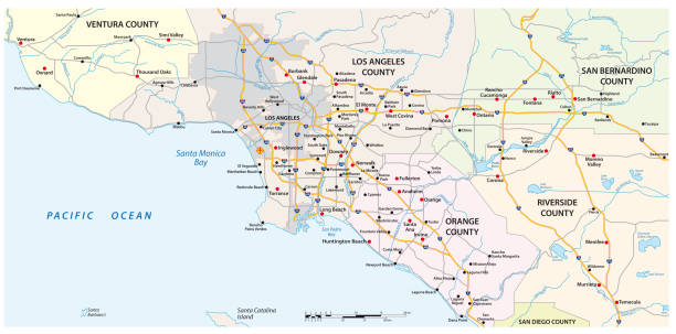
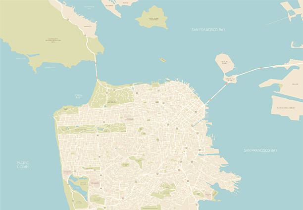
A detailed map of the downtown region of San Diego and surrounding areas. Includes highways, freeways, roads, docks, parks, golf courses, neighborhoods and points of interest, all on separate layers. Includes CS3 file and an extra-large JPG.
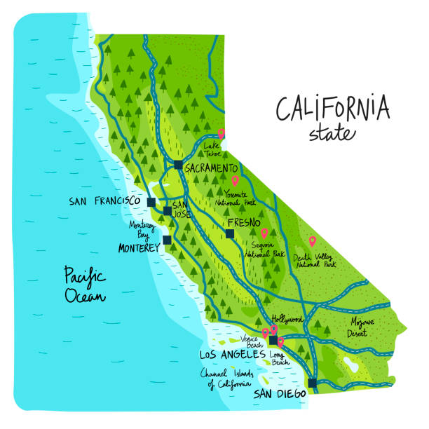
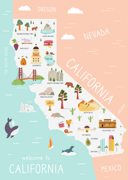
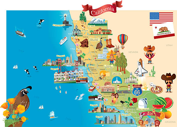
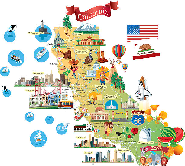
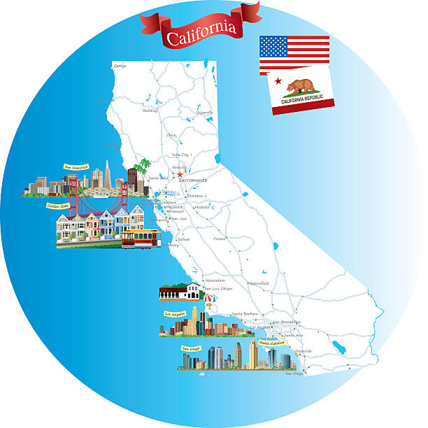
Map of California state of the USA, with landmarks. Colorful hand drawn illustration
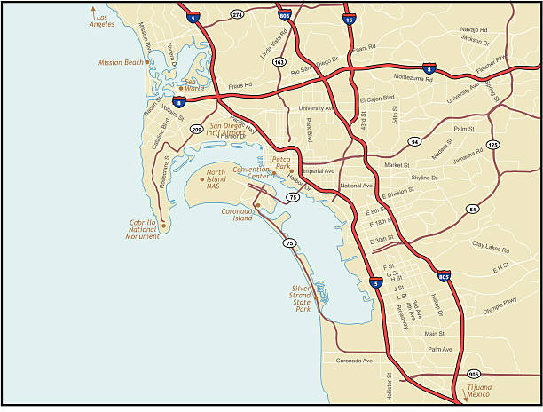
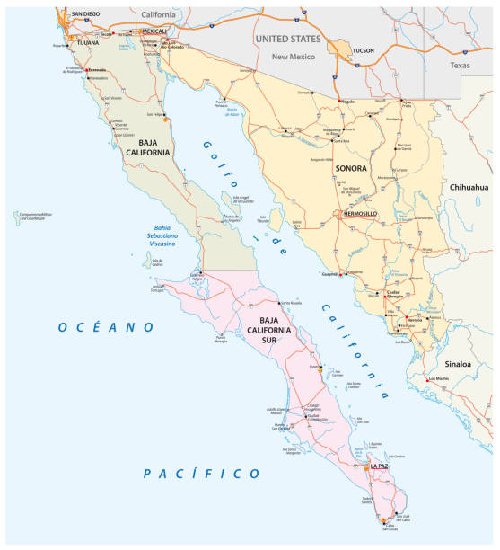
"A map of the vicinity of Sand Diego, California. It shows points of interest as well."
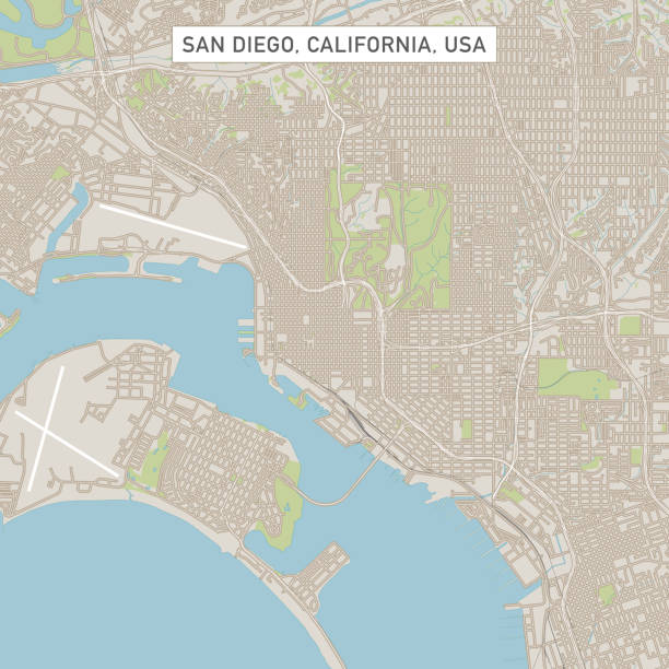
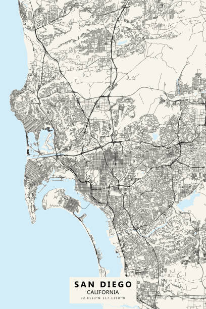
Vector Illustration of a City Street Map of San Diego, California, USA. Scale 1:60,000. All source data is in the public domain. U.S. Geological Survey, US Topo Used Layers: USGS The National Map: National Hydrography Dataset (NHD) USGS The National Map: National Transportation Dataset (NTD)
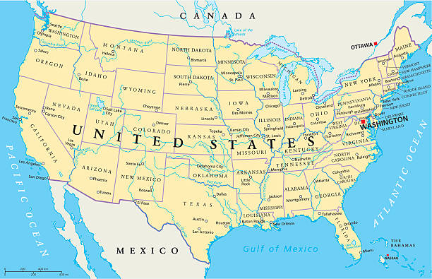
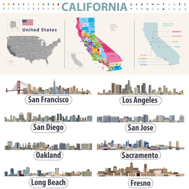
United States of America Political Map with capital Washington, national borders, most important cities, rivers and lakes. Map with single states, their borders and capitals, except Hawaii and Alaska. English labeling and scaling.

San Diego County, California (Counties in California, United States of America,USA, U.S., US) map vector illustration, scribble sketch San Diego map

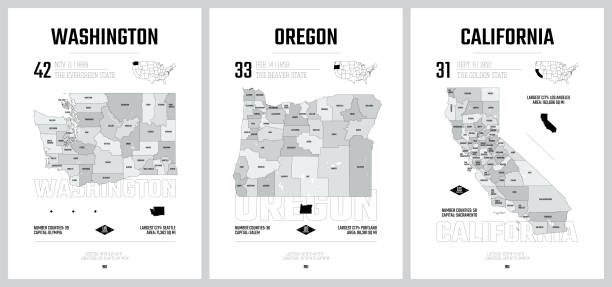
Highly-detailed California county map. Each county is in it's own separate labeled layer. County names are in a separate layer and can be easily adjusted or removed as well. All layers have been alphabetized for easy manipulation, recoloring or other use.


"Detailed vector map of California with administrative divisions. File was created on October 24, 2012. The colors in the .eps-file are ready for print (CMYK). Included files: EPS (v8) and Hi-Res JPG (4817aa aaa 5600 px)."

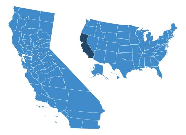
USA locations map isolated on white. EPS 10 file. Transparency effects used on highlight elements.
Vector illustration


"vector illustration of map of california with major roads, lakes and rivers."

"Highly detailed vector map of California, United States. File was created on January 18, 2012. The colors in the .eps-file are ready for print (CMYK). Included files: EPS (v8) and Hi-Res JPG."
Highly detailed map of California state of United States of America for web banner, mobile app, and educational use. The map is accurately prepared by a map expert.


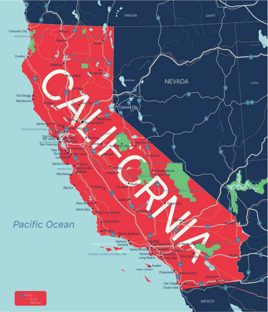
California state detailed editable map with with cities and towns, geographic sites, roads, railways, interstates and U.S. highways. Vector EPS-10 file, trending color scheme

Chula Vista CA City Vector Road Map Blue Text. All source data is in the public domain. U.S. Census Bureau Census Tiger. Used Layers: areawater, linearwater, roads.
Vector map of California. Version Adobe illustrator 10 with editable text on hidden layer is attached. Each color is placed on a single layer. You can easily change the colors or change details according to your needs.

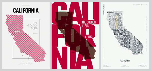
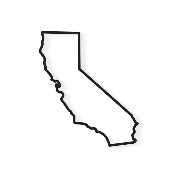
California

California

green color city district vector map.


Detailed map of California State with pointers.

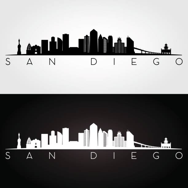
San Diego City ( United States cities, United States of America, usa city) map vector illustration, scribble sketch City of San Diego map

Highly detailed physical map of the California , in vector format,with all the relief forms,regions and big cities.

Carlsbad CA City Vector Road Map Blue Text. All source data is in the public domain. U.S. Census Bureau Census Tiger. Used Layers: areawater, linearwater, roads.

California

Map of California state of the USA, with counties. Colorful hand drawn
California
California map- vector illustration

California political map with capital Sacramento, the largest cities and borders. State in the Pacific Region of the United States. The Golden State. Gray illustration on white background. Vector.
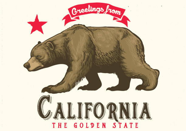
vector of greeting from california with brown bear