Sri Lanka Map

This map of Sri Lanka displays major cities, towns, highways, roads, rivers, lakes, and its main island – including a reference map, satellite imagery, and a physical map of Sri Lanka.
Sri Lanka map collection


You are free to use our Sri Lanka map for educational and commercial uses. Attribution is required. How to attribute?
About the map
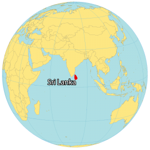
Sri Lanka is an island country located in Southern Asia in the Indian Ocean. It’s situated off the coast southeast of India, across from the Palk Strait and the Gulf of Mannar.
While Sri Jayawardenepura Kotte is the legislative capital, Colombo is the executive and judicial capital. Sri Lanka’s largest cities are Colombo, Dehiwala-Mount Lavinia, and Moratuwa.
Also, it’s a distance of 750 kilometers (466 mi) away from the Maldives to the west. The geography of Sri Lanka is diverse, with a variety of landscapes ranging from the sandy beaches of the coastline to the lush green hills and mountains of the interior.
SATELLITE IMAGERY
Sri Lanka Satellite Map
The geological story of Sri Lanka is interesting. It was once connected to India as recently as 1480. But over time, the land bridge (Adam’s Bridge or Ram Setu) eroded away, forming the island of Sri Lanka.

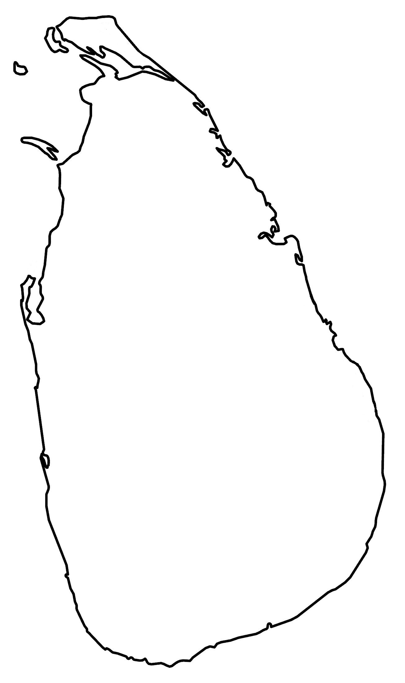
The shape of Sri Lanka resembles a teardrop or pear. It occupies an area of 65,610 square kilometers (25,330 sq mi). In comparison, India is about 50 times larger than Sri Lanka. Rivers radiate outward toward the Indian Ocean like the Kalu, Yan, and Kirindi Rivers.
PHYSICAL MAP
Sri Lanka Elevation Map
The terrain in Sri Lanka is dominantly low with flat and rolling plains. But the interior southern region is especially mountainous, known as the Central Highlands.

Specifically, it includes the Knuckles Mountain Range. At 2,524 m (8,281 ft), Pidurutalagala is Sri Lanka’s highest peak, which resembles a clenched fist. Its coastal area surrounds the island with lagoons and sandy beaches.
Capital City
Colombo
Major cities
Anuradhapura
Batticaloa
Galle
Jaffna
Kandy
Kurunegala
Matale
Matara
Moratuwa
Negombo
Trincomalee
Vavuniya
Cities, towns and villages
Ampara
Ambalangoda
Chilaw
Deduru
Elephant Pass
Hambantota
Habarane
Kalutara
Kalpitiya
Kalmunai
Kataragama
Kelani
Kegalla
Kilinochchi
Kurunegala
Mankulam
Mannar
Mullaittivu
Mutur
Negombo
Point Pedro
Pottuvil
Puttalam
Polonnaruwa
Ratnapura
Bays, rivers and seas
Adam’s Bridge
Aruvi Aru River
Bay of Bengal
Deduru Oya River
Gal Oya River
Gulf of Mannar
Indian Ocean
Iranamadu Tank
Kalu Ganga River
Kala Oya River
Kelani Ganga River
Laccadive Sea
Mahaweli Ganga
Maduru Oya River
Maha Oya River
Palk Bay
Palk Strait
Senanayake Samudra
Victoria Falls Reservoir
Walawe Ganga River
Yan Oya River
Islands
Delft Island
Jaffna Peninsula
Mannar Island