Tama-ku
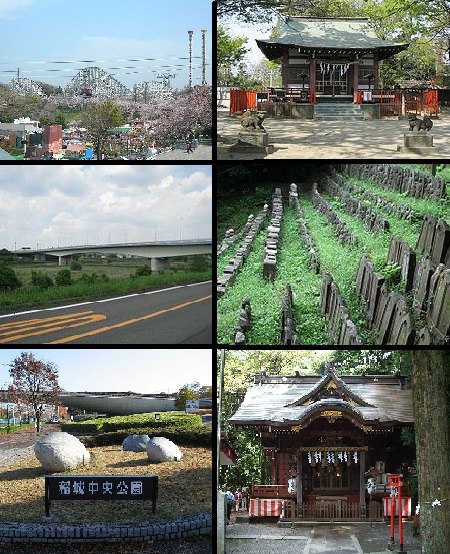
Tama-ku is one of the seven wards of the city of Kawasaki in Kanagawa Prefecture, Japan. As of 2010, the ward has an estimated population of 211,221 and a population density of 10,310 persons per km². The total area is 20.49 km².Photo: Wikimedia, CC BY-SA 3.0.
Notable Places in the Area
Ikuta
Railway station
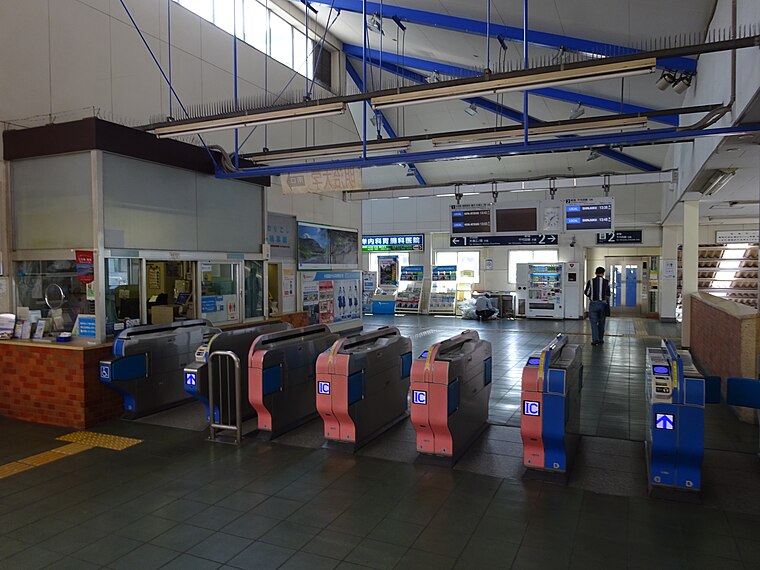
Photo: Nyao148, CC BY-SA 3.0.
Ikuta Station is a passenger railway station located in the Ikuta neighborhood of Tama-ku, Kawasaki, Kanagawa, Japan and operated by the private railway operator Odakyu Electric Railway.
Mukōgaoka-Yūen Station
Railway station
 Mukōgaoka-Yūen Station is a passenger railway station located in the Noborito neighborhood of Tama-ku, Kawasaki, Kanagawa, Japan and operated by the private railway operator Odakyu Electric Railway.
Izumi-Tamagawa Station
Railway station

Photo: Nyao148, CC BY-SA 3.0.
Izumi-Tamagawa Station is a passenger railway station located in the city of Komae, Tokyo, Japan, operated by the private railway operator Odakyu Electric Railway.
Localities in the Area
Chofu
 Chofu is a western suburb of Tokyo, and the main draws are Jindaiji Temple and Jindai Botanical gardens.
Asao-ku
Suburb
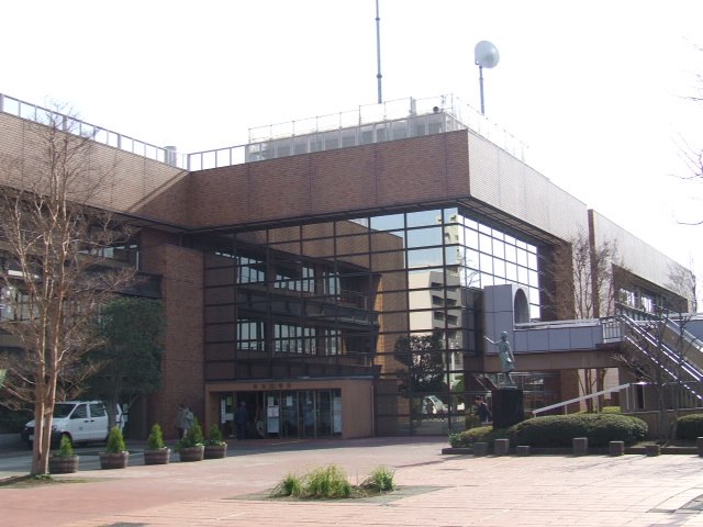
Photo: Wikimedia, CC BY-SA 3.0.
Asao-ku is one of the 7 wards of the city of Kawasaki in Kanagawa Prefecture, Japan. Asao-ku is situated 4½ km west of Tama-ku.
Tama-ku
- Type: Suburb with 214,000 residents
- Description: one of the 7 wards of the city of Kawasaki in Kanagawa Prefecture, Japan
- Categories: ward of Japan and locality
- Location: Kawasaki, Kanagawa, Kanto, Japan, East Asia, Asia
- View on OpenStreetMap
Latitude
35.6201° or 35° 37' 12" northLongitude
139.5578° or 139° 33' 28" eastPopulation
214,000Elevation
57 metres (187 feet)Open Location Code
8Q7XJHC5+24OpenStreetMap ID
node 2115185591OpenStreetMap Feature
place=suburbGeoNames ID
7470875Wikidata ID
Q1076769Tama-ku Satellite Map
© OpenStreetMap, Mapbox and Maxar
Also Known As
- Arabic: تاما-كو
- Catalan: Tama (Kawasaki)
- Catalan: Tama-ku
- Catalan: Tama
- Cebuano: Tama Ku
- Chinese: 多摩区
- Chinese: 多摩區
- Czech: Tama
- Dutch: Tama-ku
- English: Tama-ku, Kawasaki
- English: Tama Ward
- French: Tama-ku
- German: Tama-ku
- Indonesian: Tama-ku, Kawasaki
- Irish: Tama-ku
- Japanese: Tama-ku
- Japanese: たまく
- Japanese: タマク
- Japanese: 多摩区
- Japanese: 川崎市多摩区
- Korean: 다마구
- Persian: تاما-کو، کاواساکی
- Polish: Tama-ku
- Polish: Tama
- Portuguese: Tama-ku
- Russian: Тама
- Spanish: Barrio de Tama
- Spanish: Tama-ku
- Thai: เขตทามะ
- Ukrainian: Район Тама
- Ukrainian: Тама
- Urdu: تاما وارڈ، کاواساکی
- Venetian: Tama-ku
- Vietnamese: Tama-ku
Other Places Named Tama-ku
Localities in the Area
- Masugata 2-chomeNeighborhood
- Masugata 3-chomeNeighborhood
- MasugataQuarter
- Masugata 4-chomeNeighborhood
- Masugata 1-chomeNeighborhood
Landmarks in the Area
- 徒橋Bridge
- 新川橋Bridge
- 川崎市消防局多摩消防署Fire station
- 登戸郵便局Post office
Popular Destinations in Kanagawa
Discover Yokohama, Kamakura, Sagamihara and Yokosuka.
Escape to a Random Place
Discover other destinations in the world.
About Mapcarta. Thanks to Mapbox for providing amazing maps. Data © OpenStreetMap contributors and available under the Open Database License. Text is available under the CC BY-SA 4.0 license, excluding photos, directions and the map. Description text is based on the Wikipdia page Tama-ku. Photo: Wikimedia, CC BY-SA 3.0.