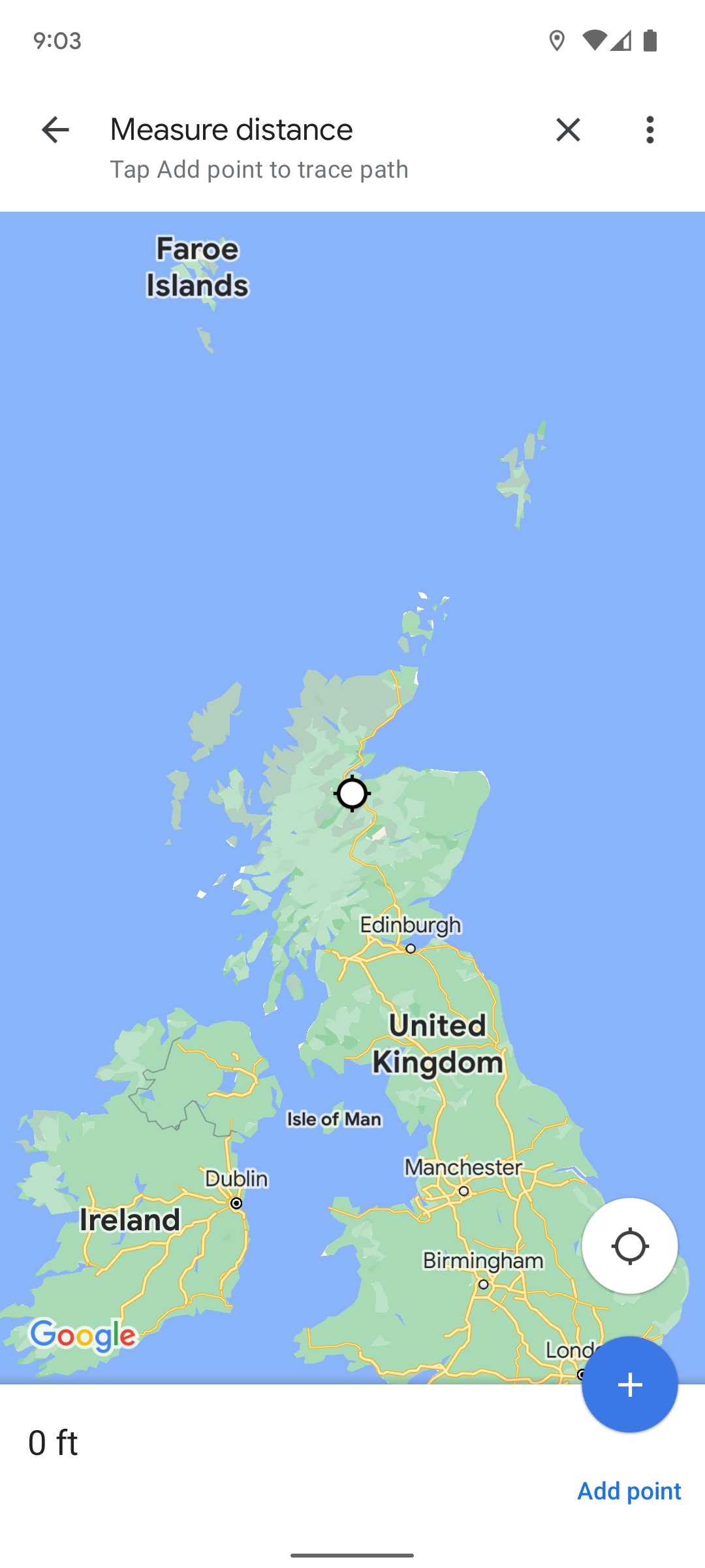
The Measure distance feature offered by Google Maps allows you to measure the distance between two points on a map "as the crow flies." You can also plot an irregular route between two points, which is helpful if you want to do something like use Google Maps with the new Pixel Watch to measure your morning run.
Google Maps is one of the most useful default Android apps and ranks among the best apps available on Android OS. Don't fret if you have an iPhone or iPad. You can download Google Maps from the Apple Store. The steps below show you how to measure distance in Google Maps on any mobile device or desktop web browser.
How to measure distance in Google Maps on an iPhone or Android phone
The steps for measuring distance on Google Maps are the same whether you're on Android or iOS. You can use this method to measure a straight line or one with several junctions. Follow these quick instructions to get the job done:
- Open the Google Maps app.
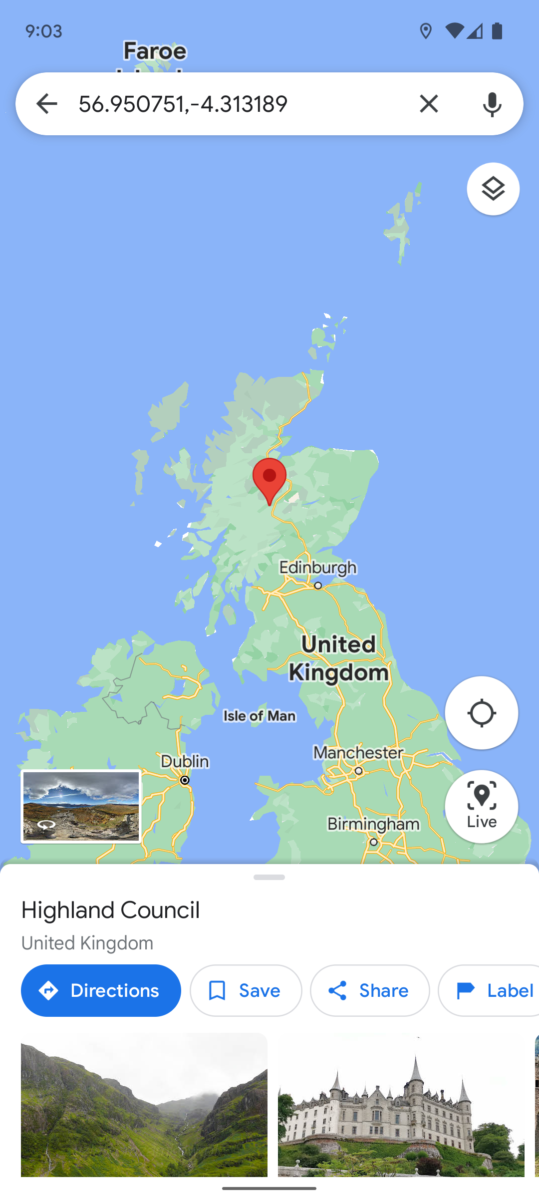
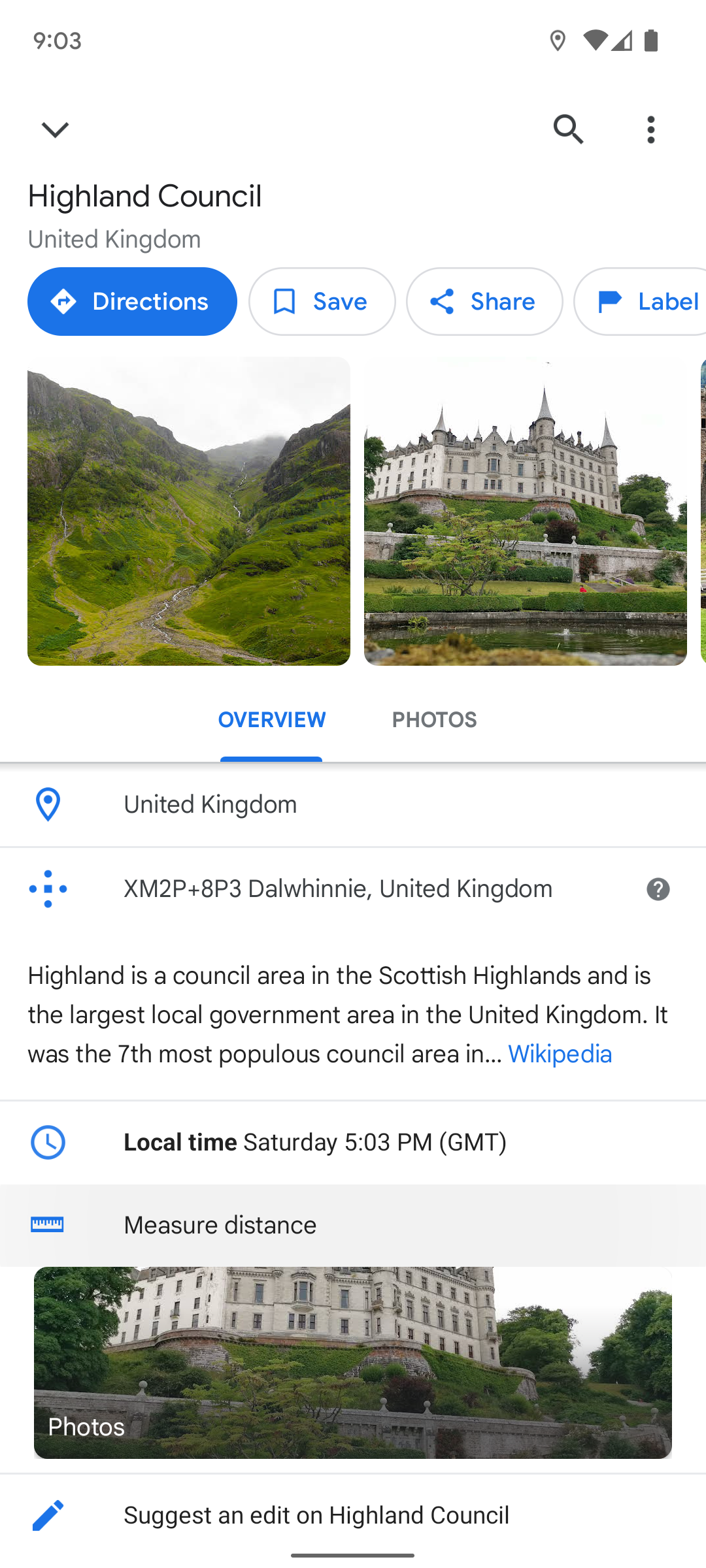
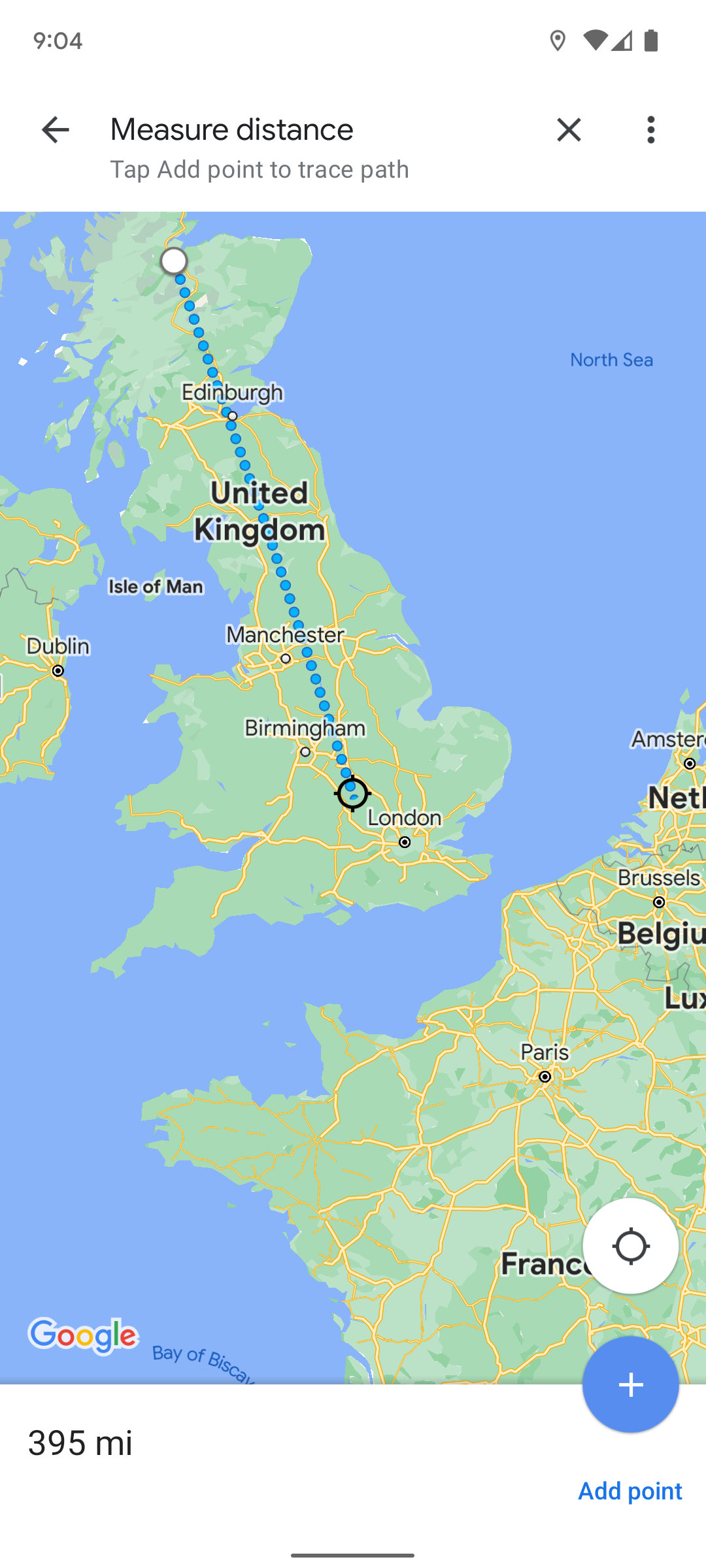
- Tap and hold a starting point to drop a red pin marker. Tapping a place name does not show the measure distance tool. You need to tap an empty space.
-
Swipe up on the location card at the bottom of the screen and tap Measure distance.
- Move the map around to place a second marker.
- Tap Add point in the lower-right corner to add another marker.
-
Repeat the above two steps to add more markers.
-
Google Maps draws a straight line between the dropped pins.
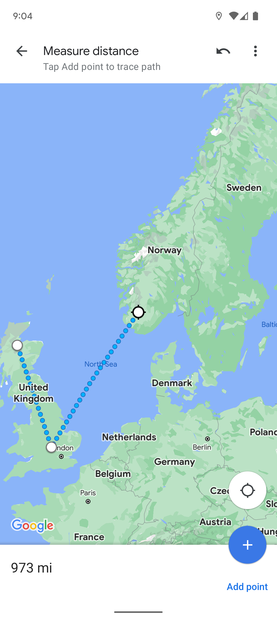


To undo a step, tap the arrow in the upper-right corner of your screen. To clear your markers (but not exit the tool), tap the three-button menu in the same location.
Google Maps shows you the distance covered as you move the map and add pin markers. You can use two markers for a straight line distance or use more markers to see the overall distance of a route with several segments. You can't see the individual distances between markers if you use multiple. Google Maps only displays the total distance of the route.
How to measure distance in Google Maps on your PC or Mac
You can still use the Google Maps Measure distance feature if you're doing more in-depth geographic research using a computer web browser. Here's how to measure distances in Google Maps when you're using your desktop or laptop:
- Open Google Maps in your web browser.
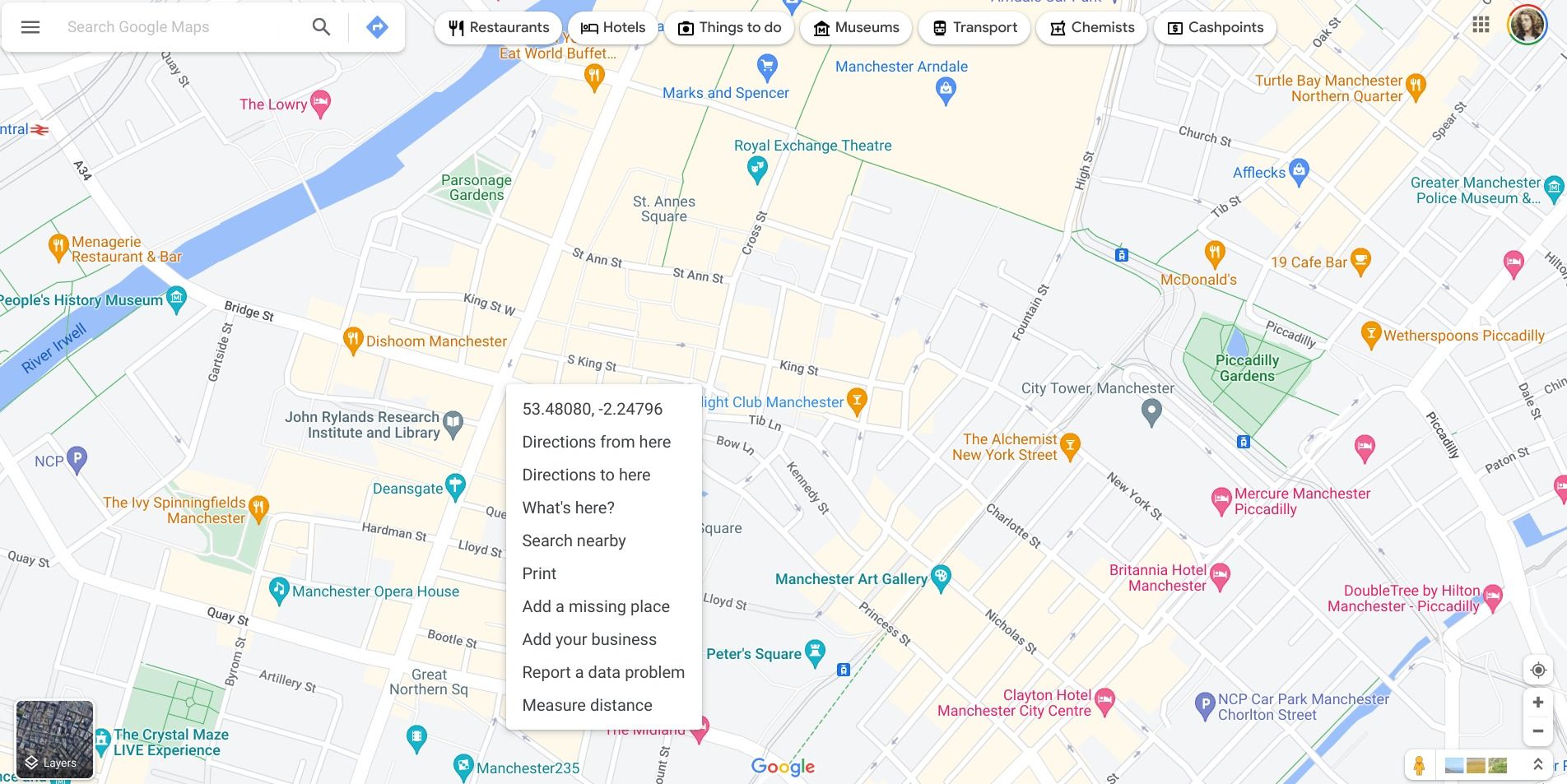
- Right-click on any location.
-
Click Measure distance from the drop-down menu to drop a marker.
- Left-click on a second location.
-
Left-click to add another marker.
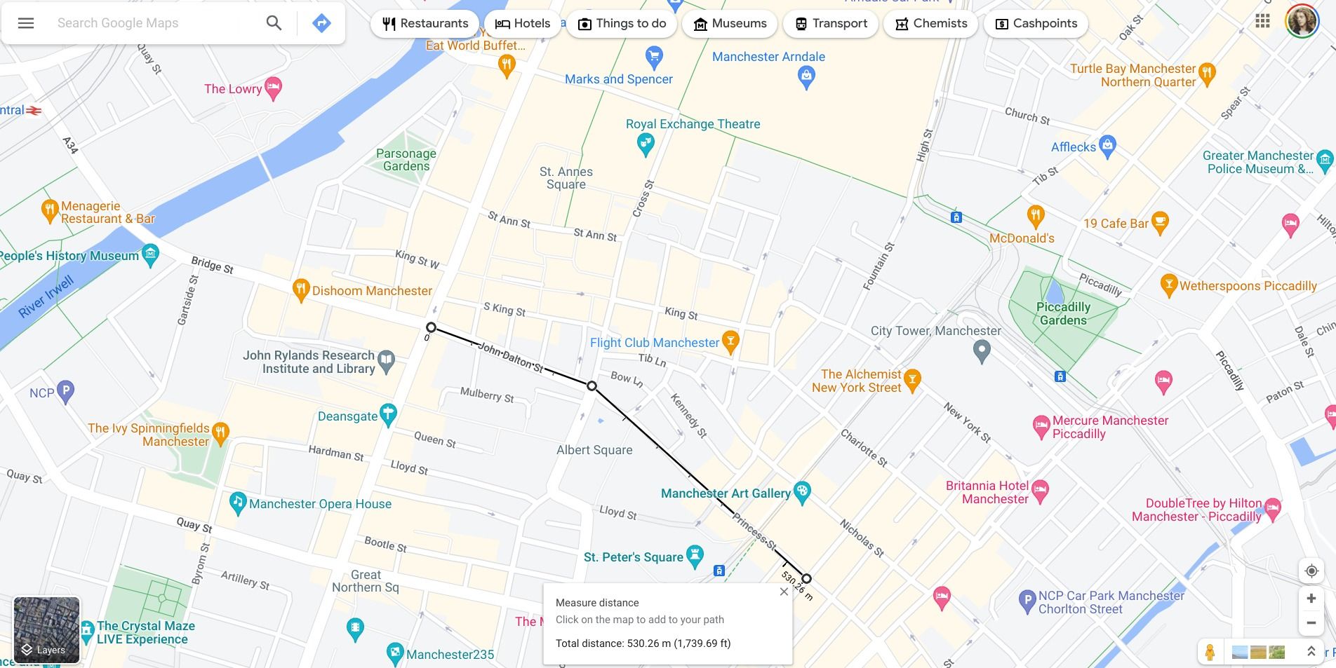


Click and drag on a crosshair icon (black circle) to move the marker, or left-click it to remove it. Close the pop-up window at the bottom of your screen to exit the distance measurement tool.
Like the mobile app, Google Maps measures the distance in real time as you move additional markers around. The only difference is that it also shows each kilometer or mile along your line in addition to the total distance of your route.
Google Maps is even better when you leave the house
The Google Maps Measure distance feature is a useful tool, but it's only one of several great ways that this app helps you in your day-to-day life. It's worth learning about a variety of Google Maps tips and tricks, such as viewing your location history or downloading offline maps. This app is sure to come in handy no matter how you choose to use it.