Hospital Coco Solo
Hospital Coco Solo is a hospital in Corregimiento Cristóbal, Colón District. Hospital Coco Solo is situated nearby to the town Cativá and the hamlet Fort Gulick.Notable Places in the Area
Estadio Roberto Mariano Bula
Stadium

Photo: jacf18, CC BY-SA 2.0.
Estadio Roberto Mariano Bula is a stadium situated 3½ km west of Hospital Coco Solo.
Manzanillo International Terminal
Manzanillo International Terminal is located east of the Atlantic opening of the Panama Canal on Manzanillo Bay, Colón Province, Panama. Manzanillo International Terminal is situated 2½ km northwest of Hospital Coco Solo.Cuartel de Bomberos de Colón
Fire station

Photo: SandySB, CC BY-SA 3.0.
Cuartel de Bomberos de Colón is a fire station situated 3½ km west of Hospital Coco Solo.
Localities in the Area
Colon
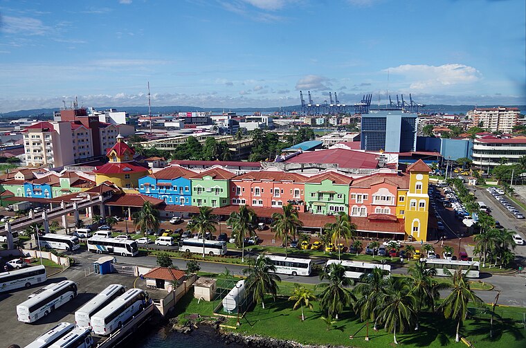
Photo: Balou46, CC BY-SA 4.0.
Colón is a city in Central Panama. It's the Caribbean end of the Panama Canal.
Cativá
Town
Cativá is a corregimiento in Colón District, Colón Province, Panama with a population of 34,558 as of 2010. Cativá is situated 4 km northeast of Hospital Coco Solo.
Fort Gulick
Hamlet
Fort Gulick was a United States Army base in the former Panama Canal Zone located on the Atlantic side of the Panama Canal near Fort Davis, on Gatun Lake. Fort Gulick is situated 4 km south of Hospital Coco Solo.
Hospital Coco Solo
- Type: Hospital
- Category: health care
- Location: Corregimiento Cristóbal, Colón District, Colon, Panama, Central America, North America
- View on OpenStreetMap
Latitude
9.35° or 9° 21' northLongitude
-79.86667° or 79° 52' westElevation
19 metres (62 feet)Open Location Code
67X284XM+X8GeoNames ID
3712122Hospital Coco Solo Satellite Map
© OpenStreetMap, Mapbox and Maxar
Localities in the Area
- Barriada El NazarenoLocality
- Urbanización Villa del CaribeLocality
- Villa AtlánticaLocality
- Ciudad de DiosLocality
- Villa El CrisolLocality
Places in the Area
- Iglesia Santa María de BelénChurch, 700 metres southeast
- Iglesia Roca EternaChurch, 710 metres south
- Centro Educativo Básico General Cristóbal ColónSchool, 720 metres south
- ColónTriangulation station, 770 metres north
- Capilla María AuxiliadoraChurch, 1 km east
Popular Destinations in Panama
Discover Panama City, Colon, Darién National Park and David.
Escape to a Random Place
Discover other hospitals in the world.
About Mapcarta. Thanks to Mapbox for providing amazing maps. Text is available under the CC BY-SA 4.0 license, excluding photos, directions and the map. Photo: Brian Gratwicke, CC BY 2.0.