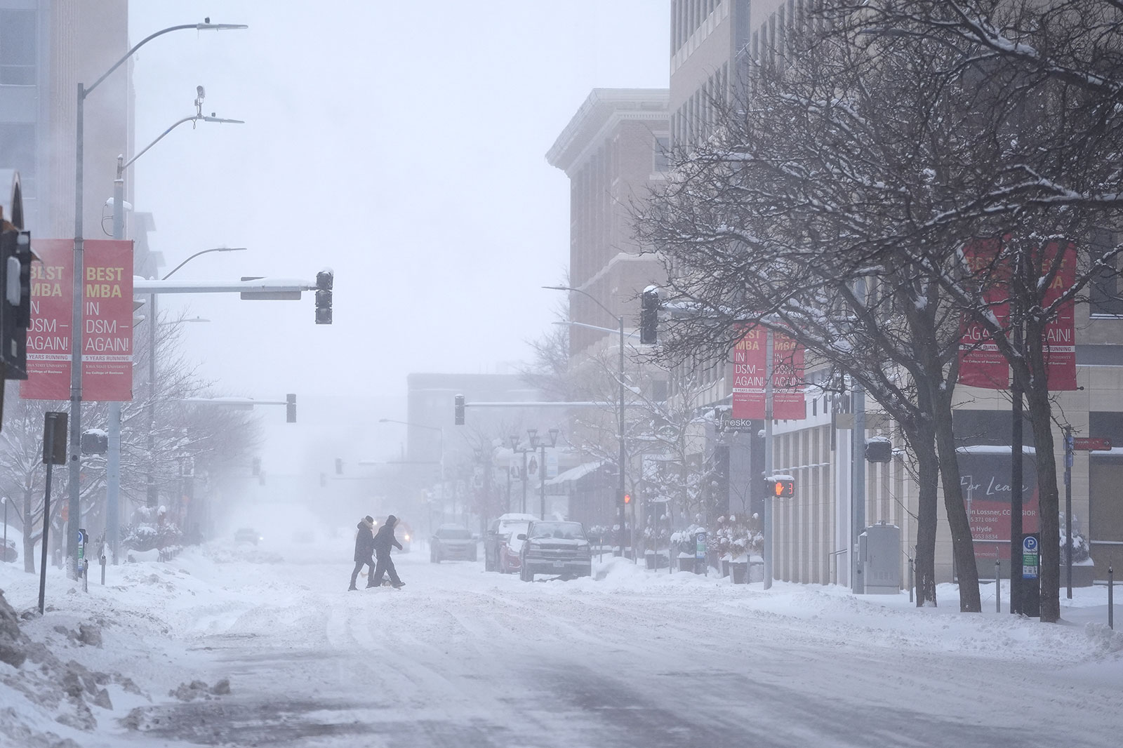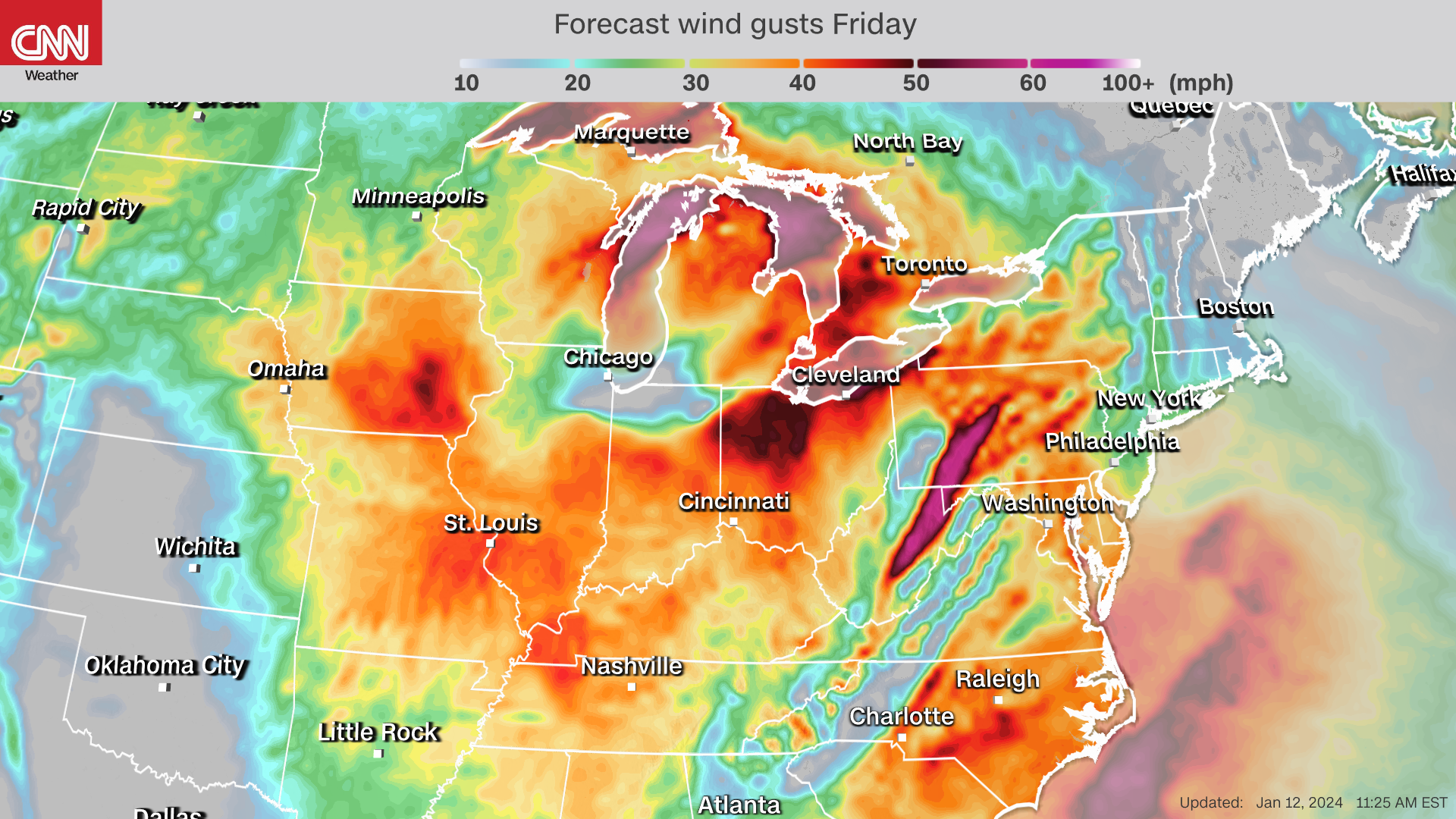
Widespread wind gusts of 40 to 60 mph are likely across much of the Midwest and portions of the East as a powerful storm reaches its full strength Friday evening. Other portions of the central US will also get quite breezy Friday, with gusts of 30 to 40 mph possible.
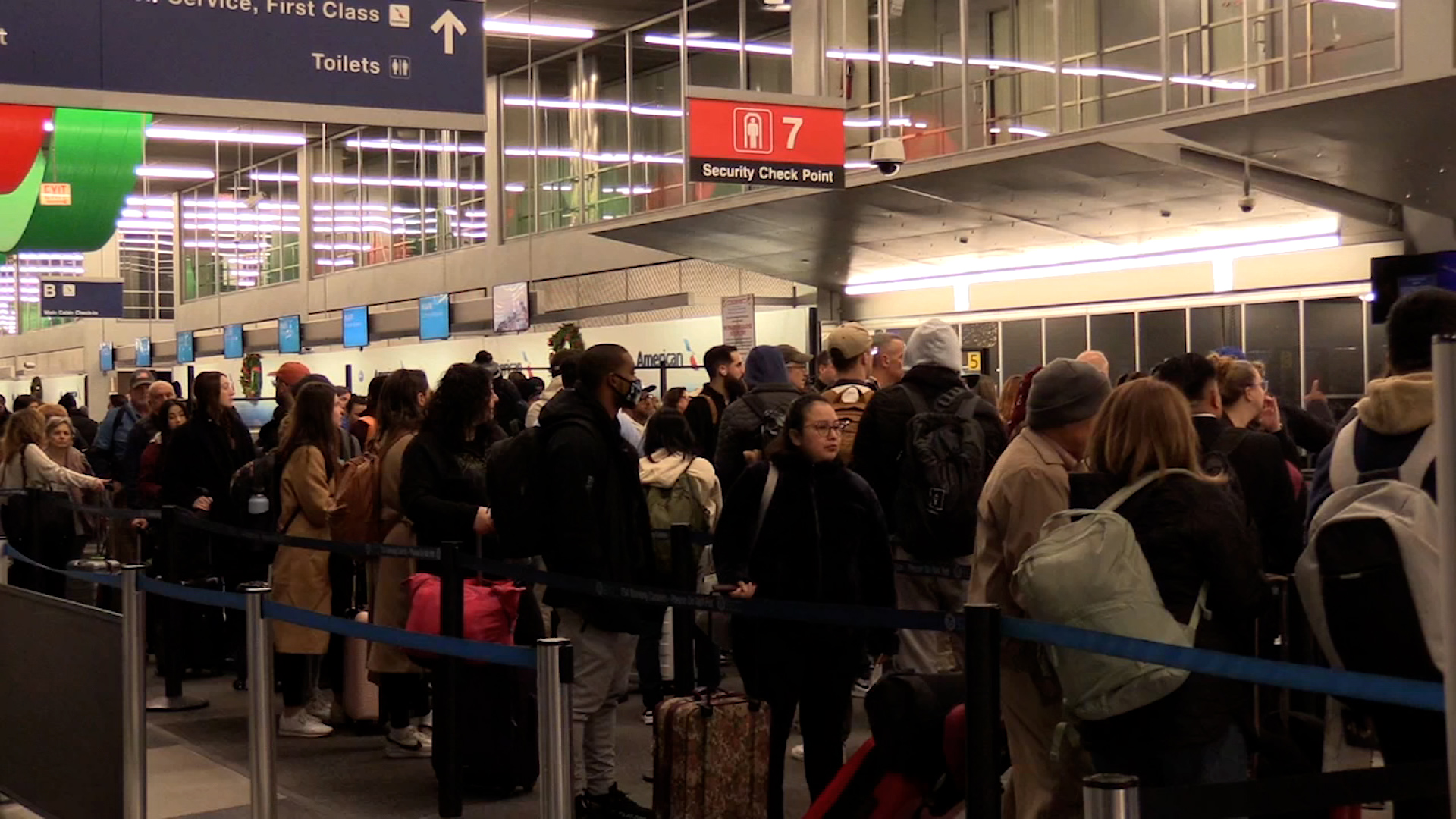
More than 150 million people across the US are under wind alerts as roaring winds crank up in intensity. Multiple locations in northern Illinois — including the Chicago metro area — reported wind gusts exceeding 50 mph Friday morning.
Power outages also started to increase Friday morning, with Illinois and Wisconsin accounting for more than 100,000 outages.
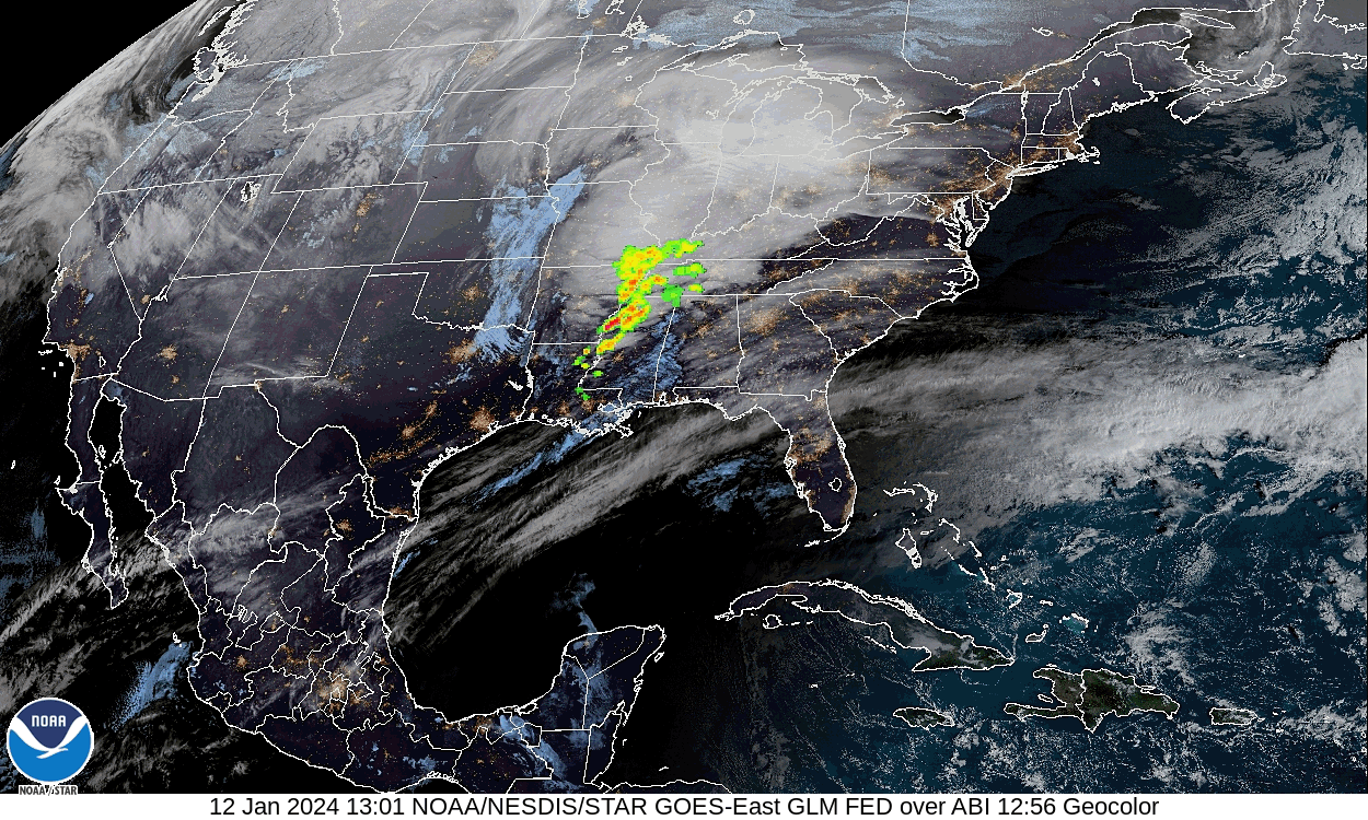
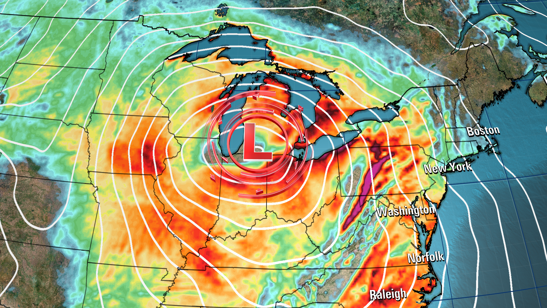
What's driving the winds: Severe storms aren't driving these strong, prolonged winds — it's the impressive strength of the storm, which is an area of low pressure, and how it interacts with a strong area of high pressure located off the northeastern coast of the US.
The atmosphere is exerting pressure on all of us. The force of that pressure is lower under areas of low pressure and higher under areas of high pressure, hence the names.
As the storm gets stronger, its pressure drops and it creates a stronger gap in pressure between it and the high pressure, known as a pressure gradient.
The speed of the wind is related directly to the strength of the pressure gradient, because it squeezes the air that moves through it, forcing it to pick up speed. Think of it like popping bubble wrap: Once it’s squeezed hard enough, the plastic pops and the air quickly rushes out.
The strength, duration and widespread nature of winds Friday in this pressure gradient are likely to bring down trees and cause additional power outages.