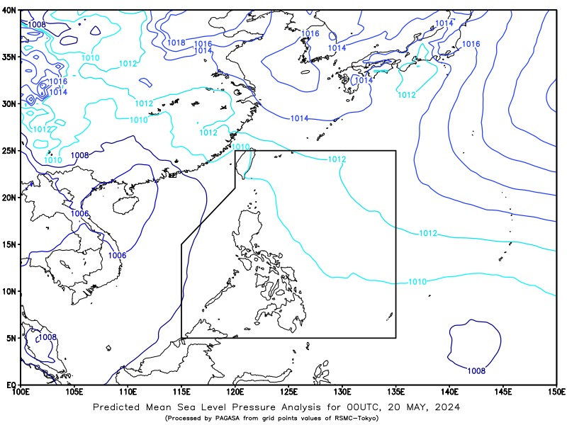
SYNOPSIS: Shear Line affecting Extreme Northern Luzon. Easterlies affect the rest of the country.
Forecast Weather Conditions
Area: Batanes
Weather Condition: Cloudy skies with scattered rain showers and thunderstorms
Caused By: Shear Line
Impacts: Residents in Batanes should prepare for possible flash floods or landslides due to moderate to at times heavy rains. The Shear Line, where winds from different directions converge, will bring unstable weather, leading to significant precipitation. Inhabitants and local authorities should remain vigilant and be ready to implement emergency measures if necessary.
Area: Metro Manila and the Rest of the Country
Weather Condition: Partly cloudy to cloudy skies with isolated rain showers or thunderstorms
Caused By: Easterlies
Impacts: The prevailing easterlies will result in generally fair weather throughout Metro Manila and the remainder of the Philippines, though isolated rain showers or thunderstorms may occur. These sporadic weather disturbances, while typically brief, can still produce heavy rainfall in localized areas, potentially causing flash floods or landslides. Citizens should exercise caution during severe thunderstorms and stay updated with the latest weather advisories.
Forecast Wind and Coastal Water Conditions
Area: Luzon
Wind Speed: Light to Moderate
Wind Direction: Southeast to South
Coastal Waters: Slight to Moderate (0.6 to 2.1 meters)
In Luzon, the winds will blow from the southeast to the south at light to moderate speeds. Coastal waters are expected to be slight to moderate, with wave heights ranging from 0.6 to 2.1 meters. Mariners and coastal communities should note these conditions for safe navigation and coastal activities.
Area: The Rest of the Country
Wind Speed: Light to Moderate
Wind Direction: East to Southeast
Coastal Waters: Slight to Moderate (0.6 to 2.1 meters)
For the rest of the country, winds from the east to southeast will also be light to moderate, and the coastal waters will remain slight to moderate with wave heights between 0.6 and 2.1 meters. Similar precautions are advised for those engaging in maritime and coastal operations.
Extremes of Temperature and Relative Humidity for the 24 hours Ending 8:00 PM Yesterday
- Minimum Temperature: 27.1 °C at 8:00 PM
- Maximum Temperature: 34.4 °C at 1:50 PM
The recorded temperatures show a notable range, with a high of 34.4 °C in the early afternoon and a low of 27.1 °C in the evening. This diurnal variation is typical for the season, reflecting the impact of daytime heating and nighttime cooling.
Residents are encouraged to stay hydrated and take necessary precautions against heat during peak hours, while also being prepared for sudden weather changes, especially in regions prone to thunderstorms. For the latest updates and detailed weather information, stay tuned to local broadcasts and the official channels of the weather bureau.