How much snow has fallen so far in Minnesota, and how much is still to come?
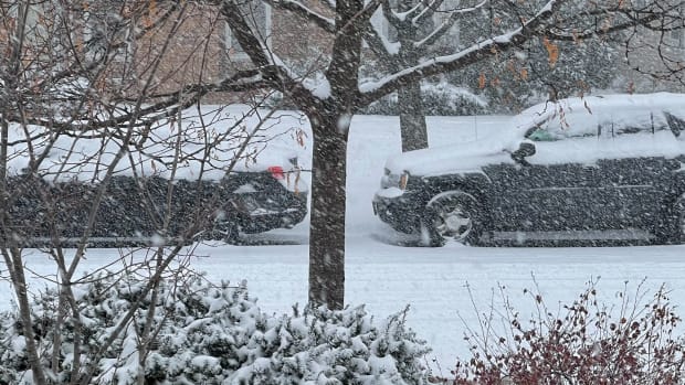
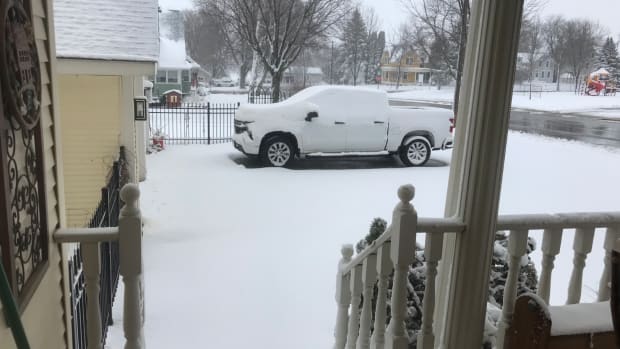
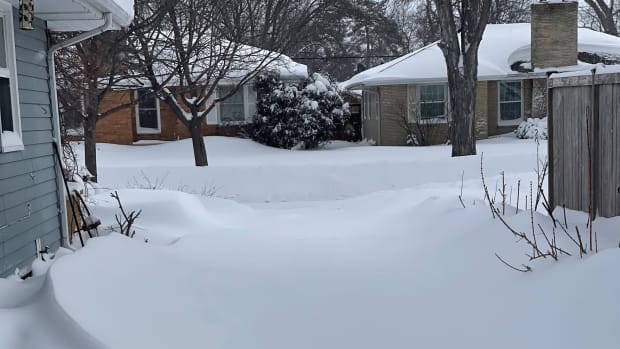
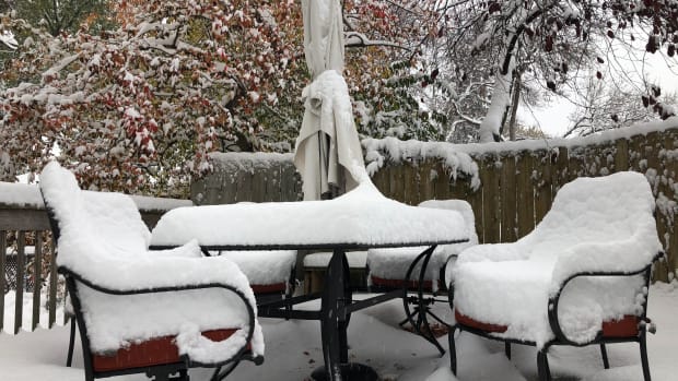
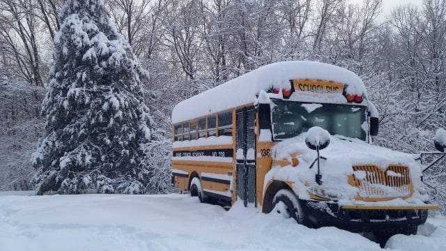
Much of Minnesota is waking up to a dense, wet blanket of snow Monday morning, with the heaviest snow falling on the state overnight.
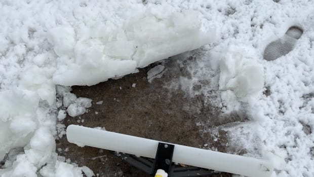
Snow depth readings are starting to come in but it's still early, with the heavy nature of the snow and the subsequent compacting making accurate readings difficult, particularly further south where snow turned to rain overnight.
Still, the reading for MSP Airport on Monday morning reached 8.2 inches, while the highest reading for Minnesota so far is the 9.1 inches registering in Hugo. Parts of western Wisconsin meanwhile have seen snow in excess of 13 inches.
Readings of 7-8 inches are also being reported in metro suburbs, including Chanhassen, Minnetonka, and Woodbury.
The 8.2 inches that fell at MSP marks a daily record for Mar. 24, as does the 10 inches that fell in Eau Claire, Wisconsin.
We'll update this article as more readings come in, with parts of central, west-central and northern Minnesota expected to get the largest amounts by Monday evening, with snow continuing throughout much of the day, while rain persists in the Twin Cities and further south.
What will happen Monday and Tuesday?
While Monday's precipitation will take the form of rain for the Twin Cities, it doesn't mean there won't be more snow coming between now and when the system exits on Tuesday.
As temperatures drop Monday evening, it could lead to light snow and ice that could potentially mean another 1-2 inches of snow on the ground.
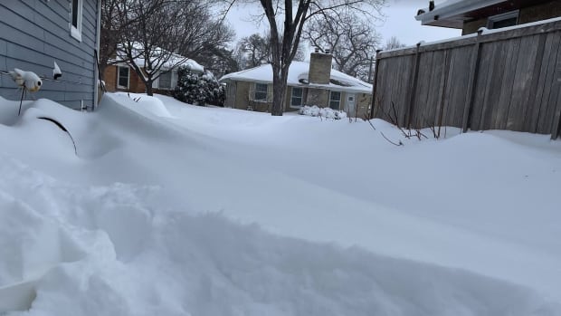
Further north and west there's still a significant amount of snow yet to come, with 5-8 inches possible in cities including Alexandria, Morris and Brainerd, while St. Cloud could get another 2-5 inches by 7 p.m. Tuesday.
In northern Minnesota, an additional 5-10 inches could yet fall in the likes of Bemidji, Park Rapids and Wadena, while another foot could yet fall in International Falls, Crane Lake, and Silver Bay.


"The Winter Storm Warning will remain in effect for additional snowfall amounts of 3-5" combined with strong northwest winds tonight through Tuesday," says the NWS forecast discussion for the Twin Cities/central Minnesota region.
"Gusts of 30-40 MPH are possible overnight for far western Minnesota and will spread eastward through the day Tuesday as the surface low begins to track towards the Great Lakes.
The travel situation could also be somewhat dicey on Wednesday, with dropping temperatures potentially leading to a "flash freeze," the NWS has warned.